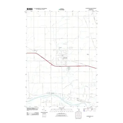
2011 Map of Coopersville
USGS Topo · Published 2011About this map
The Grand River flows along the southern edge of this West Michigan landscape, anchoring a network of small settlements and rural homesteads. This 2011 survey shows the town of Coopersville positioned as a central hub, with its grid expanding around the Coopersville Post Office. The surrounding territory is defined by the winding paths of Deer Creek and Little Deer Creek, which drain the agricultural lands between the river and the northern reaches of the quadrangle.
Find a feature on this map
74 named features on this map. Tap any name to fly to it.
Don’t see what you’re looking for? This feature index may not catch every label — zoom into the map to look around manually.
Map Details
Editions of this 2011 Coopersville Map
This is the sole edition of this map. No revisions or reprints were ever made.
Other maps of this area

1929 · Holland
USGS Topo · 1:62,500

1930 · Muskegon
USGS Topo · 1:62,500

1932 · Holland
USGS Topo · 1:62,500

1936 · Muskegon
USGS Topo · 1:62,500

1945 · Ravenna
USGS Topo · 1:62,500

1954 · Milwaukee
USGS Topo · 1:250,000

1954 · Midland
USGS Topo · 1:250,000

1958 · Midland
USGS Topo · 1:250,000

1958 · Milwaukee
USGS Topo · 1:250,000

1958 · Allendale
USGS Topo · 1:24,000