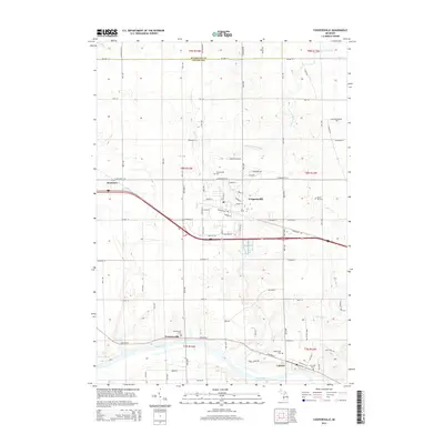
2014 Map of Coopersville
USGS Topo · Published 2014About this map
Coopersville serves as the central hub of this 2014 landscape, where the street grid expands around Main St and Danforth St. The town is surrounded by several burial grounds essential for genealogical research, including Coopersville Cem, Maple Hill Cem, and Maplewood Cem. To the south, the Grand River carves a wide path through the terrain, anchoring the riverfront settlements of Eastmanville and Lamont. This area reveals a transition from the structured residential blocks of the primary town to the rural stretches defined by agricultural drains like Scott and Tanner Drain and Deer Cr. The map captures the persistence of smaller communities like Dennison and the intricate network of county roads, such as Leonard St and Wilson St, that link these historic Ottawa County river towns.
Find a feature on this map
56 named features on this map. Tap any name to fly to it.
Don’t see what you’re looking for? This feature index may not catch every label — zoom into the map to look around manually.
Map Details
Editions of this 2014 Coopersville Map
This is the sole edition of this map. No revisions or reprints were ever made.
Other maps of this area

1929 · Holland
USGS Topo · 1:62,500

1930 · Muskegon
USGS Topo · 1:62,500

1932 · Holland
USGS Topo · 1:62,500

1936 · Muskegon
USGS Topo · 1:62,500

1945 · Ravenna
USGS Topo · 1:62,500

1954 · Milwaukee
USGS Topo · 1:250,000

1954 · Midland
USGS Topo · 1:250,000

1958 · Midland
USGS Topo · 1:250,000

1958 · Milwaukee
USGS Topo · 1:250,000

1958 · Allendale
USGS Topo · 1:24,000