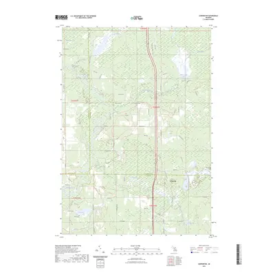
2023 Map of Cooperton
USGS Topo · Published 2023About this map
The Muskegon River meanders through this landscape where the borders of Roscommon, Missaukee, and Clare counties converge. This 2023 survey of the region captures a terrain defined by complex water systems, from the wetlands of Laurel Marsh and Muddy Bayou to the expansive Wraco Lodge Lake in the north. The presence of the Wilson Grave in the southwest provides a specific point of interest for genealogists tracing local families in the vicinity of Rice Pond.
Find a feature on this map
72 named features on this map. Tap any name to fly to it.
Don’t see what you’re looking for? This feature index may not catch every label — zoom into the map to look around manually.
Map Details
Editions of this 2023 Cooperton Map
This is the sole edition of this map. No revisions or reprints were ever made.
Other maps of this area

1954 · Traverse City
USGS Topo · 1:250,000

1956 · Houghton Lake
USGS Topo · 1:62,500

1957 · Harrison
USGS Topo · 1:62,500

1958 · Traverse City
USGS Topo · 1:250,000

1963 · Prudenville
USGS Topo · 1:24,000

1969 · Meredith NW
USGS Topo · 1:24,000

1969 · Meredith SW
USGS Topo · 1:24,000

1983 · Moddersville
USGS Topo · 1:25,000
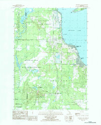
1983 · Houghton Lake
USGS Topo · 1:25,000
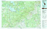
1983 · Houghton Lake
USGS Topo · 1:100,000