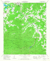
1965 Map of Coosa Bald
USGS Topo · Published 1975About this map
Blairsville sits as a central hub in Union County, where the valley terrain meets the high ridges of the Chattahoochee National Forest. This mid-century survey records the community before extensive modern development, highlighting local family heritage through numerous burial grounds like Mathis Cem and Duncan Cem. The landscape is defined by the Nottely River feeding into Nottely Lake to the northwest, while the southern reaches rise toward the peaks surrounding Vogel State Park. Cultural landmarks like the Georgia Mountain Experiment Station and the Blairsville Municipal Airport signify the area's agricultural and infrastructural growth. Smaller settlements such as Wellborn and Choestoe are linked by a network of mountain gaps and hollows, including Owltown Gap and Wolfpen Gap, which have long dictated travel through these northern Georgia highlands.
Find a feature on this map
103 named features on this map. Tap any name to fly to it.
Don’t see what you’re looking for? This feature index may not catch every label — zoom into the map to look around manually.
Map Details
Editions of this 1965 Coosa Bald Map
2 editions found
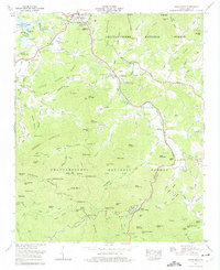
Other maps of this area

1886 · Dahlonega
USGS Topo · 1:125,000

1888 · Ellijay
USGS Topo · 1:125,000

1892 · Dahlonega
USGS Topo · 1:125,000

1892 · Ellijay
USGS Topo · 1:125,000

1896 · Dahlonega
USGS Topo · 1:125,000

1898 · Ellijay
USGS Topo · 1:125,000

1903 · Dahlonega
USGS Topo · 1:125,000

1911 · Ellijay
USGS Topo · 1:125,000

1935 · Coosa Bald
USGS Topo · 1:24,000

1935 · Ivylog
USGS Topo · 1:24,000