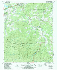
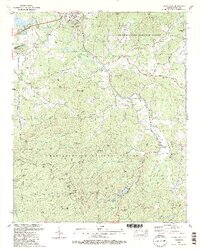
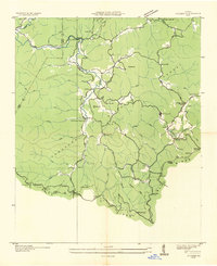
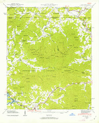
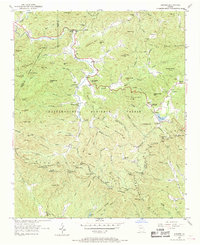
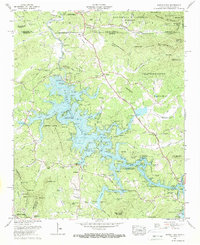
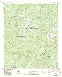
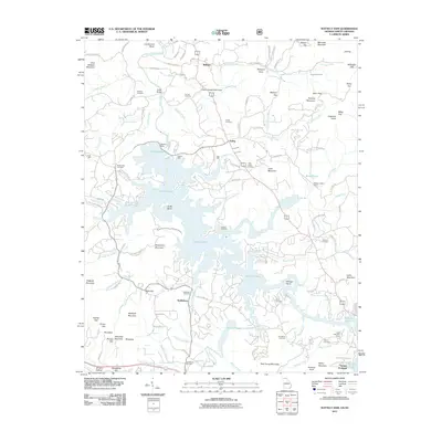
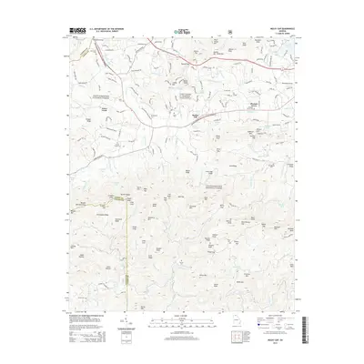
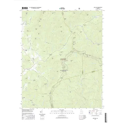
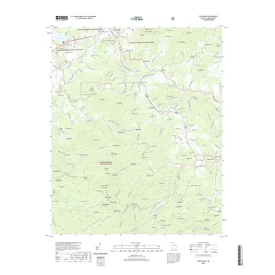
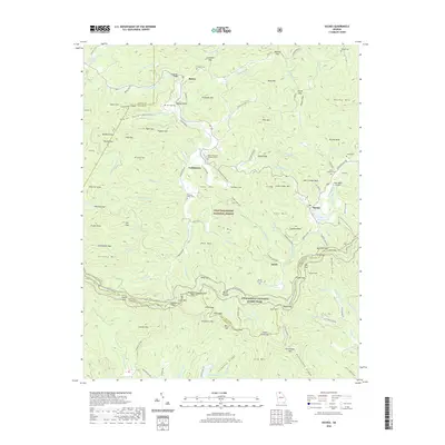
1988 Map of Coosa Bald
USGS Topo · Published 1988About this map
Blairsville serves as the primary hub of this North Georgia mountain landscape, anchoring the northern portion of the map where local roads and highways converge. Beyond the central town, the topography is defined by the extensive reach of the Chattahoochee National Forest, which blankets the southern and eastern ridges. The presence of the forest boundary suggests a landscape where private agricultural lands and managed timber meet the steep, wooded terrain of the Blue Ridge. The map details the transition from the relatively level valley around the settlement to the protected upland areas, revealing the rural character of Union County in the late twentieth century.
Find a feature on this map
1 named feature on this map. Tap any name to fly to it.
Don’t see what you’re looking for? This feature index may not catch every label — zoom into the map to look around manually.
Map Details
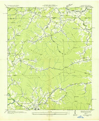
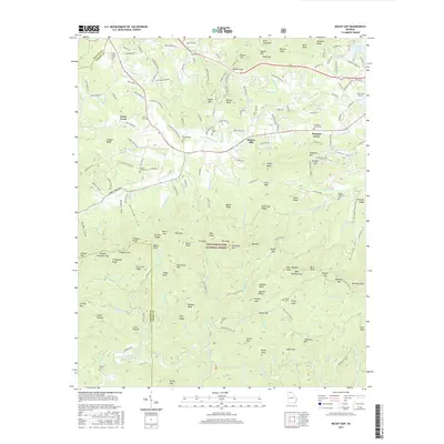
Editions of this 1988 Coosa Bald Map
2 editions found
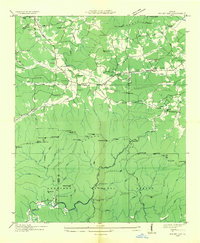
Historical Maps of Blairsville Through Time
49 maps found

1935 Coosa Bald
Union County, GA
1935 Gumlog
Union County, GA

1935 Ivylog
Union County, GA

1935 Jacks Gap
Union County, GA
1935 Mulky Gap
Union County, GA
1935 Suches
Union County, GA
1938 Coosa Bald
Union County, GA

1938 Jacks Gap
Union County, GA
1938 Mulky Gap
Union County, GA
1938 Suches
Union County, GA
1941 Gumlog
Union County, GA
1941 Ivylog
Union County, GA
1942 Gumlog
Union County, GA
1942 Ivylog
Union County, GA
1950 Suches
Union County, GA
1957 Jacks Gap
Union County, GA
1965 Coosa Bald
Union County, GA
1965 Mulky Gap
Union County, GA
1966 Nottely Dam
Union County, GA
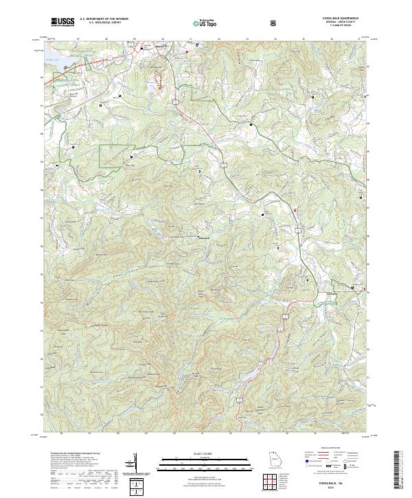
1988 Coosa Bald
Union County, GA
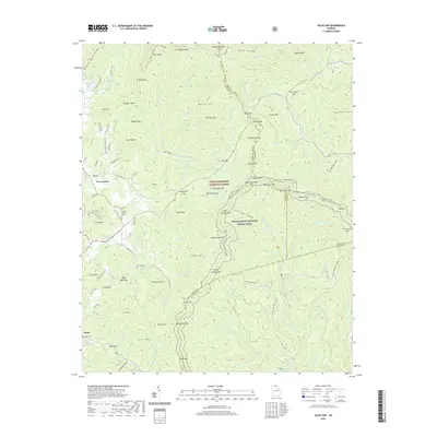
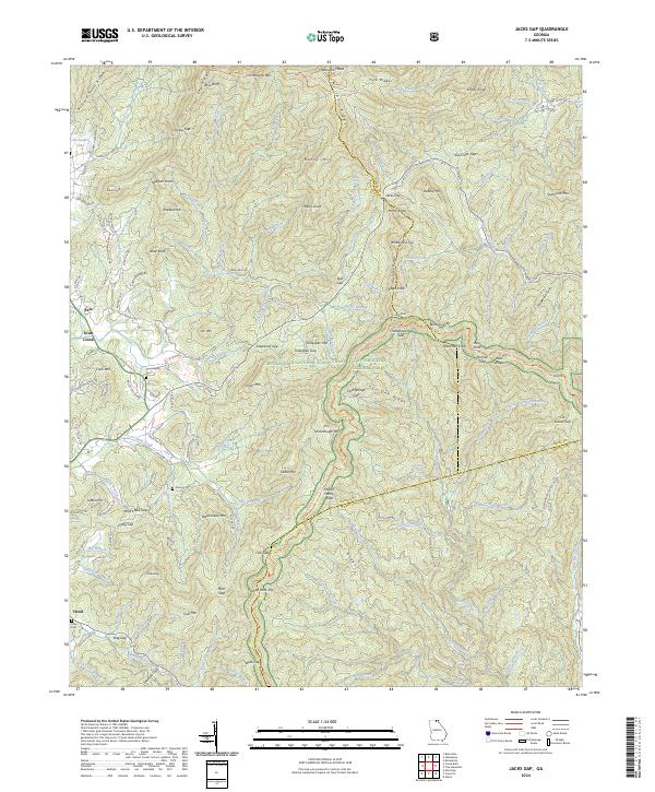
1988 Jacks Gap
Union County, GA
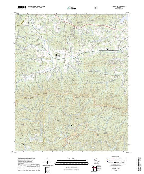
1988 Mulky Gap
Union County, GA
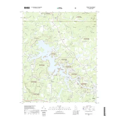
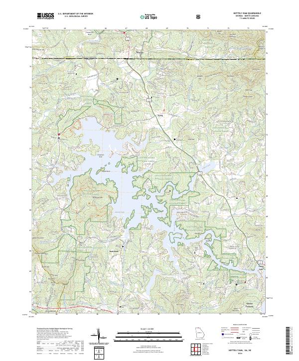
1988 Nottely Dam
Union County, GA
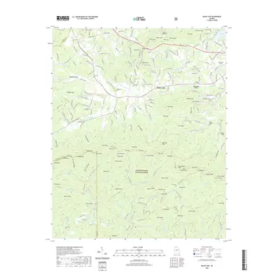
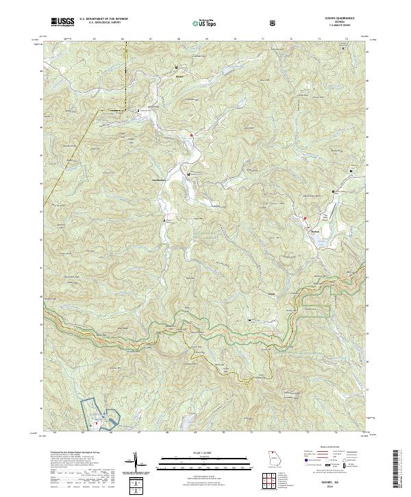
1988 Suches
Union County, GA
2011 Coosa Bald
Union County, GA
2011 Jacks Gap
Union County, GA
2011 Mulky Gap
Union County, GA
2011 Nottely Dam
Union County, GA
2011 Suches
Union County, GA
2014 Coosa Bald
Union County, GA
2014 Jacks Gap
Union County, GA
2014 Mulky Gap
Union County, GA
2014 Nottely Dam
Union County, GA
2014 Suches
Union County, GA
2017 Coosa Bald
Union County, GA
2017 Jacks Gap
Union County, GA
2017 Mulky Gap
Union County, GA
2017 Nottely Dam
Union County, GA
2017 Suches
Union County, GA
2020 Coosa Bald
Union County, GA
2020 Jacks Gap
Union County, GA
2020 Mulky Gap
Union County, GA
2020 Nottely Dam
Union County, GA
2020 Suches
Union County, GA
2024 Coosa Bald
Union County, GA
2024 Jacks Gap
Union County, GA
2024 Mulky Gap
Union County, GA
2024 Nottely Dam
Union County, GA
2024 Suches
Union County, GA