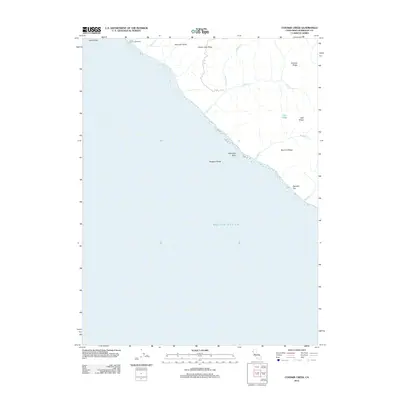
2012 Map of Cooskie Creek
USGS Topo · Published 2012About this map
The Punta Gorda Lighthouse stands as a sentinel on the northern coastline of this Humboldt County map, marking a transition from the Pacific Ocean to the steep, rising ridges of Northern California. The coastal topography is defined by sharp elevation changes, where features like Johnny Jack Ridge and Cooskie Ridge dominate the landscape. Numerous seasonal and year-round drainages, including Cooskie Cr and Randall Cr, have carved deep gulches and canyons through the terrain. Along the immediate shoreline, maritime hazards and landmarks such as Gorda Rock, Reynolds Rock, and Rodgers Break are meticulously documented. Further south, the narrow coastal bench at Spanish Flat provides one of the few relatively level areas between the surf and the high spine of Spanish Ridge.
Find a feature on this map
17 named features on this map. Tap any name to fly to it.
Don’t see what you’re looking for? This feature index may not catch every label — zoom into the map to look around manually.
Map Details
Editions of this 2012 Cooskie Creek Map
This is the sole edition of this map. No revisions or reprints were ever made.
Other maps of this area

1919 · Glynn
USGS Topo · 1:62,500

1920 · Pt. Delagda
USGS Topo · 1:62,500

1921 · Cape Mendocino
USGS Topo · 1:62,500

1926 · Gorda
USGS Topo · 1:62,500

1949 · Eureka
USGS Topo · 1:250,000

1949 · Point Delgada
USGS Topo · 1:62,500

1950 · Cape Mendocino
USGS Topo · 1:62,500

1950 · Scotia
USGS Topo · 1:62,500

1951 · Scotia
USGS Topo · 1:62,500

1951 · Point Delgada
USGS Topo · 1:62,500