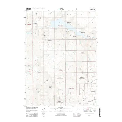
2015 Map of Copco
USGS Topo · Published 2015About this map
Klamath River flows through the northern reaches of this Siskiyou County landscape, feeding into the large expanse of Copco Lake and the eastern edge of Iron Gate Reservoir. The settlement of Copco is positioned near the river, surrounded by a dramatic topography defined by the Klamath Rim and prominent peaks such as Sloan Butte and Daggett Mtn. Much of the southern and eastern portions of the map are contained within the Klamath National Forest, where the terrain is marked by numerous canyons and gulches including Hells Canyon, Parks Canyon, and Spannaus Gulch.
Find a feature on this map
94 named features on this map. Tap any name to fly to it.
Don’t see what you’re looking for? This feature index may not catch every label — zoom into the map to look around manually.
Map Details
Editions of this 2015 Copco Map
This is the sole edition of this map. No revisions or reprints were ever made.
Other maps of this area

1886 · Shasta
USGS Topo · 1:250,000

1891 · Ashland
USGS Topo · 1:250,000

1893 · Ashland
USGS Topo · 1:250,000

1894 · Shasta
USGS Topo · 1:250,000

1897 · Ashland
USGS Topo · 1:250,000

1922 · Shasta Valley Sheet No 13
USGS Topo · 1:24,000

1922 · Shasta Valley Sheet No 16
USGS Topo · 1:24,000

1934 · Macdoel
USGS Topo · 1:96,000

1941 · Macdoel
USGS Topo · 1:125,000

1948 · Weed
USGS Topo · 1:250,000