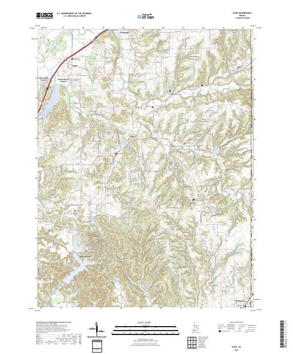
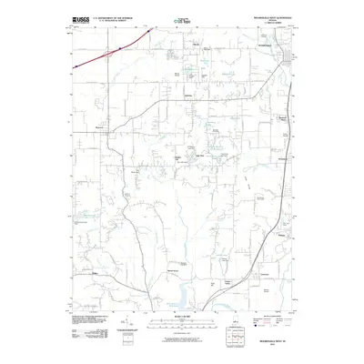
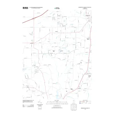
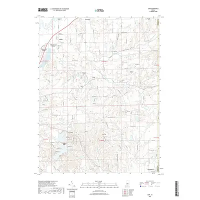
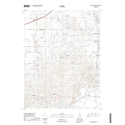
2022 Map of Cope
USGS Topo · Published 2022About this map
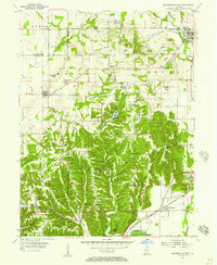
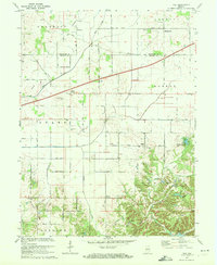
The White River winds through the northwestern corner of this Morgan County landscape, while the intricate drainage systems of Stotts Creek and Clear Creek define the central and southern terrain. Settlement is concentrated around the established community of Morgantown in the southeast and the residential enclave of Painted Hills near Parker Lake. The map reveals a high density of small family and community burial grounds, such as Gerholt Cem, Nast Chapel Cem, and Williams Bradford Cem, which provide significant genealogical touchpoints for local researchers.
Find a feature on this map
137 named features on this map. Tap any name to fly to it.
Don’t see what you’re looking for? This feature index may not catch every label — zoom into the map to look around manually.
Map Details
Editions of this 2022 Cope Map
This is the sole edition of this map. No revisions or reprints were ever made.
Historical Maps of Adams Through Time
28 maps found
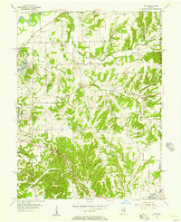
1955 Cope
Morgan County, IN
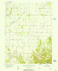
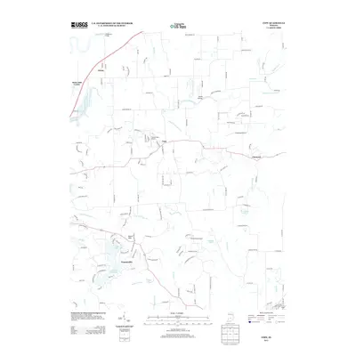
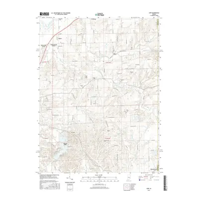
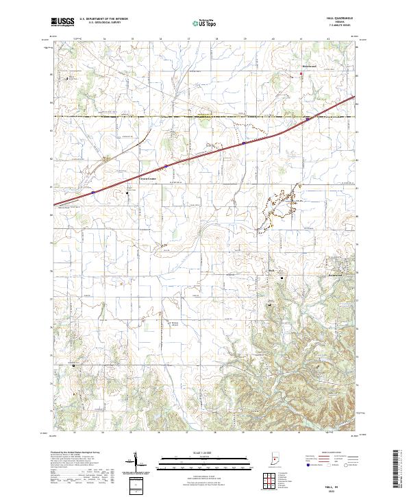
1955 Hall
Morgan County, IN
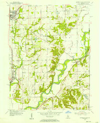
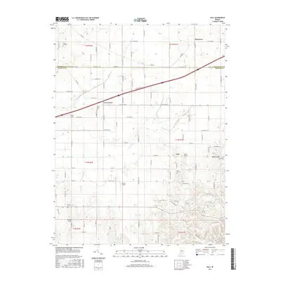
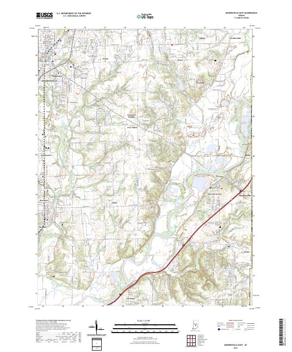
1955 Mooresville East
Morgan County, IN
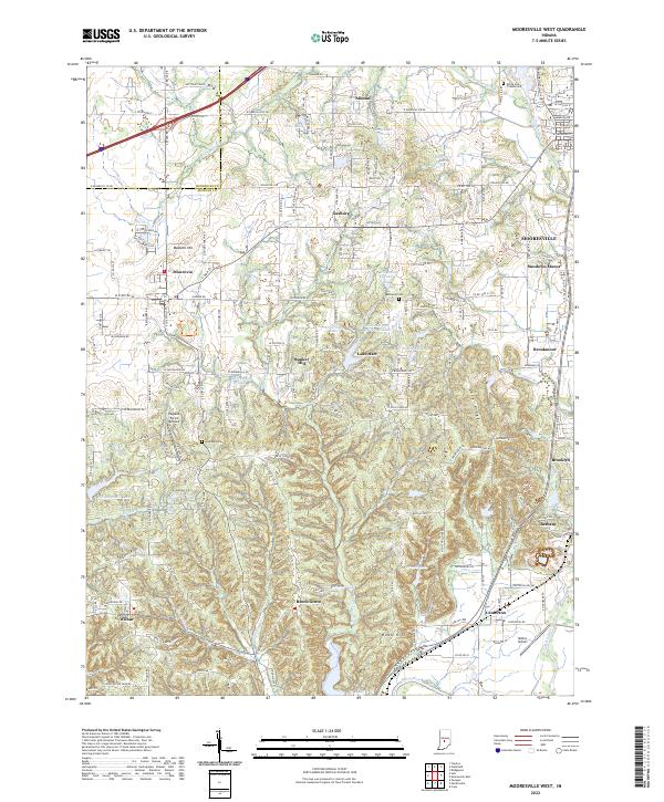
1955 Mooresville West
Morgan County, IN
1965 Cope
Morgan County, IN
1965 Mooresville East
Morgan County, IN
1965 Mooresville West
Morgan County, IN
1970 Hall
Morgan County, IN
2010 Cope
Morgan County, IN
2010 Hall
Morgan County, IN
2010 Mooresville East
Morgan County, IN
2010 Mooresville West
Morgan County, IN
2013 Cope
Morgan County, IN
2013 Hall
Morgan County, IN
2013 Mooresville East
Morgan County, IN
2013 Mooresville West
Morgan County, IN
2016 Cope
Morgan County, IN
2016 Hall
Morgan County, IN
2016 Mooresville East
Morgan County, IN
2016 Mooresville West
Morgan County, IN
2019 Cope
Morgan County, IN
2019 Hall
Morgan County, IN
2019 Mooresville East
Morgan County, IN
2019 Mooresville West
Morgan County, IN
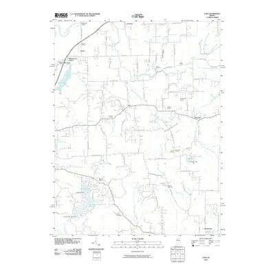
2022 Cope
Morgan County, IN
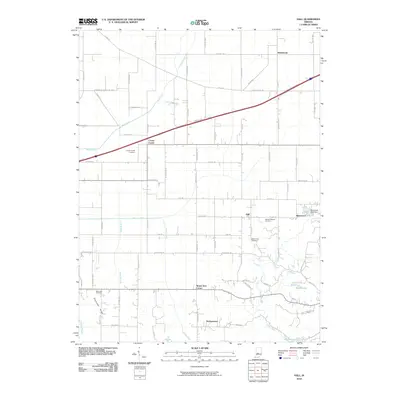
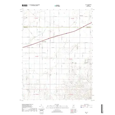
2022 Hall
Morgan County, IN
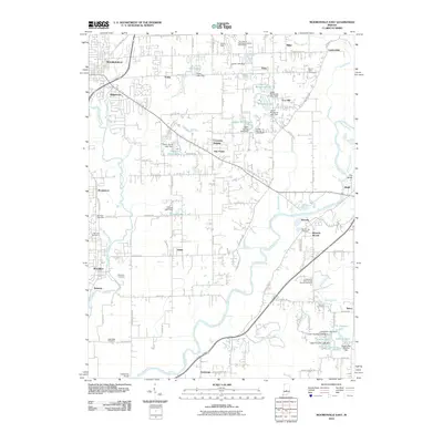
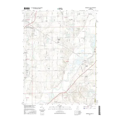
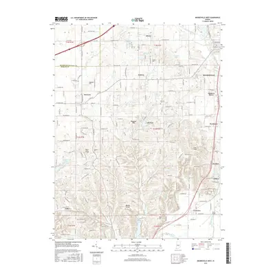
2022 Mooresville East
Morgan County, IN
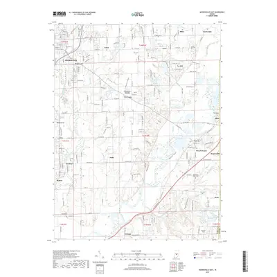
2022 Mooresville West
Morgan County, IN