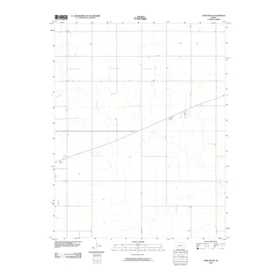
2009 Map of Copeland SE
USGS Topo · Published 2009About this map
Crooked Creek meanders through the heart of this Gray County landscape, defining the local drainage patterns across a strictly gridded agricultural expanse. This survey captures the rural character of the region southeast of Copeland, where a systematic network of county roads organizes the prairie into distinct sections. Named routes such as A A Rd, B B Rd, and Cc Rd reflect the uniform township and range surveying system that governs land division here. The map highlights the intersection of modern transit and natural hydrology, showing how local life follows the rigid lines of Co Rd 7 and Co Rd 4 while the creek maintains its irregular course through the plains.
Find a feature on this map
12 named features on this map. Tap any name to fly to it.
Don’t see what you’re looking for? This feature index may not catch every label — zoom into the map to look around manually.
Map Details
Editions of this 2009 Copeland SE Map
This is the sole edition of this map. No revisions or reprints were ever made.
Other maps of this area

1892 · Meade
USGS Topo · 1:125,000

1892 · Dodge
USGS Topo · 1:125,000

1896 · Garden
USGS Topo · 1:125,000

1955 · Dodge City
USGS Topo · 1:250,000

1958 · Dodge City
USGS Topo · 1:250,000

1959 · Dodge City
USGS Topo · 1:250,000

1967 · Plains NE
USGS Topo · 1:24,000

1968 · Montezuma
USGS Topo · 1:24,000

1968 · Montezuma NW
USGS Topo · 1:24,000

1968 · Plains NW
USGS Topo · 1:24,000