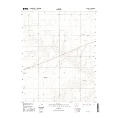
2016 Map of Copeland SE
USGS Topo · Published 2016About this map
Copeland serves as the primary landmark on this southern Kansas landscape, situated in the southwestern corner of the quadrangle. The surrounding agricultural terrain is methodically divided by a strict grid of section roads, including F F Rd, G G Rd, and H H Rd, which facilitate transport across the open plains. Historically significant for genealogy and local history, the Copeland Cem is located just outside the main settlement. The topography is defined by the winding course of Crooked Cr, which meanders through the central and southeastern portions of the map. This drainage system provides a stark contrast to the rectilinear human-imposed grid, illustrating the subtle natural variations in an otherwise highly structured prairie environment.
Find a feature on this map
22 named features on this map. Tap any name to fly to it.
Don’t see what you’re looking for? This feature index may not catch every label — zoom into the map to look around manually.
Map Details
Editions of this 2016 Copeland SE Map
This is the sole edition of this map. No revisions or reprints were ever made.
Other maps of this area

1892 · Meade
USGS Topo · 1:125,000

1892 · Dodge
USGS Topo · 1:125,000

1896 · Garden
USGS Topo · 1:125,000

1955 · Dodge City
USGS Topo · 1:250,000

1958 · Dodge City
USGS Topo · 1:250,000

1959 · Dodge City
USGS Topo · 1:250,000

1967 · Plains NE
USGS Topo · 1:24,000

1968 · Montezuma
USGS Topo · 1:24,000

1968 · Montezuma NW
USGS Topo · 1:24,000

1968 · Plains NW
USGS Topo · 1:24,000