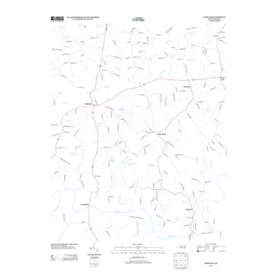
2013 Map of Copeland
USGS Topo · Published 2013About this map
The Fisher River carves a winding path through the heart of this Surry County landscape, eventually meeting the broad Yadkin River at the southern boundary. This part of North Carolina is defined by a dense network of small communities and family-named roads that reflect generations of local settlement. Established hamlets like Fairview, Copeland, and Stony Knoll are connected by narrow thoroughfares such as Simpson Mill Rd and Copeland School Rd, pointing to the area's agricultural and educational history. Near the riverbanks, the historic community of Rockford and the settlement of Crutchfield sit among a landscape of ridges and hollows, including Bullin Holw. The northern reaches are drained by Beaver Cr and Little Beaver Cr, while the central section includes the protected Fairview Wildlife area, preserving the wooded character of the Piedmont terrain.
Find a feature on this map
162 named features on this map. Tap any name to fly to it.
Don’t see what you’re looking for? This feature index may not catch every label — zoom into the map to look around manually.
Map Details
Editions of this 2013 Copeland Map
This is the sole edition of this map. No revisions or reprints were ever made.
Other maps of this area

1891 · Yadkinville
USGS Topo · 1:125,000

1893 · Yadkinville
USGS Topo · 1:125,000

1953 · Winston-Salem
USGS Topo · 1:250,000

1955 · Winston-Salem
USGS Topo · 1:250,000

1962 · Winston-Salem
USGS Topo · 1:250,000

1966 · Yadkinville
USGS Topo · 1:24,000

1966 · East Bend
USGS Topo · 1:24,000
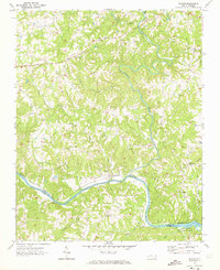
1970 · Siloam
USGS Topo · 1:24,000

1970 · Copeland
USGS Topo · 1:24,000
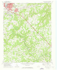
1970 · Mount Airy South
USGS Topo · 1:24,000