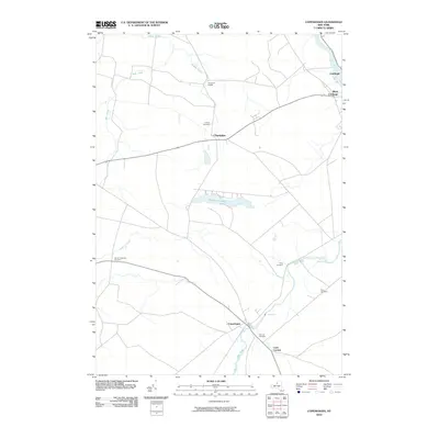
2010 Map of Copenhagen
USGS Topo · Published 2010About this map
Copenhagen and the surrounding river valley anchor this 2010 topographic record of Jefferson and Lewis Counties. The Deer River flows northward through the heart of the region, marked by natural landmarks like High Falls and Kings Falls. These waterways historically dictated the settlement patterns of towns such as Champion and the oddly named Champion Huddle, where the geography of the Black River valley transitions into agricultural tablelands.
Find a feature on this map
21 named features on this map. Tap any name to fly to it.
Don’t see what you’re looking for? This feature index may not catch every label — zoom into the map to look around manually.
Map Details
Editions of this 2010 Copenhagen Map
This is the sole edition of this map. No revisions or reprints were ever made.
Other maps of this area

1895 · Watertown
USGS Topo · 1:62,500

1898 · Watertown
USGS Topo · 1:62,500

1902 · Carthage
USGS Topo · 1:62,500

1903 · Theresa
USGS Topo · 1:62,500

1904 · Carthage
USGS Topo · 1:62,500

1908 · Watertown
USGS Topo · 1:62,500

1909 · Watertown
USGS Topo · 1:62,500

1911 · Antwerp
USGS Topo · 1:62,500

1942 · Copenhagen
USGS Topo · 1:24,000
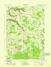
1943 · Barnes Corners
USGS Topo · 1:31,680