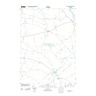
2013 Map of Copenhagen
USGS Topo · Published 2013About this map
Copenhagen stands at the heart of this landscape, situated along the Deer River where the water drops over High Falls. The village layout is defined by the convergence of several major routes, including the local Co Rte-194 and the river's path toward Clark Corners. To the north, the settlement of Champion remains a primary focal point, anchored by the Hillside Cem and the nearby Champion Huddle.
Find a feature on this map
87 named features on this map. Tap any name to fly to it.
Don’t see what you’re looking for? This feature index may not catch every label — zoom into the map to look around manually.
Map Details
Editions of this 2013 Copenhagen Map
This is the sole edition of this map. No revisions or reprints were ever made.
Other maps of this area

1895 · Watertown
USGS Topo · 1:62,500

1898 · Watertown
USGS Topo · 1:62,500

1902 · Carthage
USGS Topo · 1:62,500

1903 · Theresa
USGS Topo · 1:62,500

1904 · Carthage
USGS Topo · 1:62,500

1908 · Watertown
USGS Topo · 1:62,500

1909 · Watertown
USGS Topo · 1:62,500

1911 · Antwerp
USGS Topo · 1:62,500

1942 · Copenhagen
USGS Topo · 1:24,000
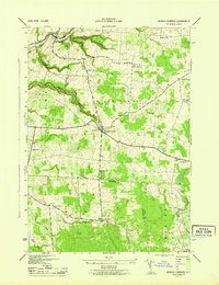
1943 · Barnes Corners
USGS Topo · 1:31,680