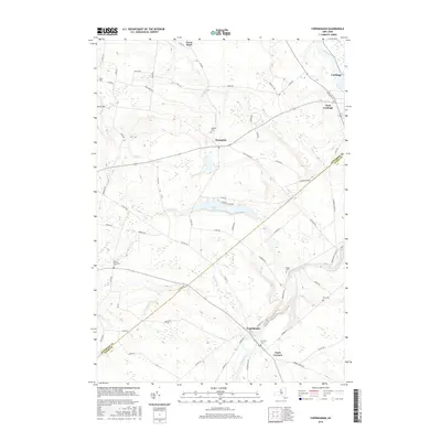
2016 Map of Copenhagen
USGS Topo · Published 2016About this map
The Deer River carves a deep path through the Tug Hill plateau region as it flows toward Copenhagen, where the dramatic drops of High Falls and Kings Falls define the local geography. This 2016 survey documents the rural character of the Jefferson and Lewis county line, anchored by the historic population centers of Carthage and West Carthage along the Black River. The settlement pattern follows a network of country roads, connecting smaller hamlets like Champion and Clark Corners. Genealogists will find several burial grounds noted across the landscape, including Hillside Cem, Fairview Cem, and South Champion Cem. The transition from the high elevations near Orvis Hill down toward the river valleys highlights a landscape of dispersed farmsteads and managed woodlands, with Pleasant Lake serving as a significant recreational water body central to the quadrangle's highland area.
Find a feature on this map
72 named features on this map. Tap any name to fly to it.
Don’t see what you’re looking for? This feature index may not catch every label — zoom into the map to look around manually.
Map Details
Editions of this 2016 Copenhagen Map
This is the sole edition of this map. No revisions or reprints were ever made.
Other maps of this area

1895 · Watertown
USGS Topo · 1:62,500

1898 · Watertown
USGS Topo · 1:62,500

1902 · Carthage
USGS Topo · 1:62,500

1903 · Theresa
USGS Topo · 1:62,500

1904 · Carthage
USGS Topo · 1:62,500

1908 · Watertown
USGS Topo · 1:62,500

1909 · Watertown
USGS Topo · 1:62,500

1911 · Antwerp
USGS Topo · 1:62,500

1942 · Copenhagen
USGS Topo · 1:24,000
1943 · Barnes Corners
USGS Topo · 1:31,680