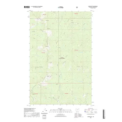
2020 Map of Copper Butte
USGS Topo · Published 2020About this map
High-altitude peaks and ridgelines dominate this portion of the Colville National Forest in Ferry County. The landscape is defined by a chain of prominent summits including Copper Butte, Wapaloosie Mtn, and Scar Mtn, which form a dramatic spine through the center of the quadrangle. For hikers and historians, the Pacific NW National Scenic Trail winds across these heights, intersecting with older routes like the Old Stage road and the Twin Sisters path. The drainage patterns are clearly marked by the headwaters of the N Fork Sanpoil River and Deadman Cr, while the southern edge of the map features the notable Sherman Pass. This detailed survey illustrates the intricate topography of the Kettle River Range, showing the relationship between these significant mountain landmarks and the remote forest road networks like Mac/King.
Find a feature on this map
43 named features on this map. Tap any name to fly to it.
Don’t see what you’re looking for? This feature index may not catch every label — zoom into the map to look around manually.
Map Details
Editions of this 2020 Copper Butte Map
This is the sole edition of this map. No revisions or reprints were ever made.
Other maps of this area

1904 · Republic
USGS Topo · 1:125,000

1936 · Marcus
USGS Topo · 1:96,000

1942 · Marcus
USGS Topo · 1:125,000

1948 · Curlew
USGS Topo · 1:62,500

1948 · Republic
USGS Topo · 1:62,500

1948 · Sherman Peak
USGS Topo · 1:62,500

1948 · Togo Mountain
USGS Topo · 1:62,500

1951 · Togo Mountain
USGS Topo · 1:62,500

1951 · Sherman Peak
USGS Topo · 1:62,500

1951 · Curlew
USGS Topo · 1:62,500