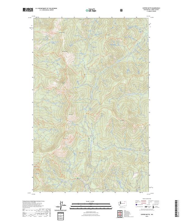
2023 Map of Copper Butte
USGS Topo · Published 2023About this map
Copper Butte and the surrounding high country of the Colville National Forest define this corner of Ferry County. The landscape is a network of drainage basins and high summits, including Scar Mtn and Wapaloosie Mtn, carved by watercourses like the North Fork Sanpoil River and Sherman Creek. Modern infrastructure meets historical transit routes here, as the Sherman Pass Scenic Byway winds through the southern terrain while the Pacific Northwest National Scenic Trl traverses the ridges.
Find a feature on this map
51 named features on this map. Tap any name to fly to it.
Don’t see what you’re looking for? This feature index may not catch every label — zoom into the map to look around manually.
Map Details
Editions of this 2023 Copper Butte Map
This is the sole edition of this map. No revisions or reprints were ever made.
Other maps of this area

1904 · Republic
USGS Topo · 1:125,000

1936 · Marcus
USGS Topo · 1:96,000

1942 · Marcus
USGS Topo · 1:125,000

1948 · Curlew
USGS Topo · 1:62,500

1948 · Republic
USGS Topo · 1:62,500

1948 · Sherman Peak
USGS Topo · 1:62,500

1948 · Togo Mountain
USGS Topo · 1:62,500

1951 · Togo Mountain
USGS Topo · 1:62,500

1951 · Sherman Peak
USGS Topo · 1:62,500

1951 · Curlew
USGS Topo · 1:62,500