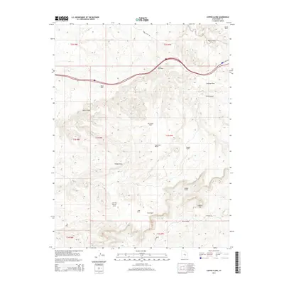
2014 Map of Copper Globe
USGS Topo · Published 2014About this map
Copper Globe serves as a central landmark in this high-desert portion of the San Rafael Swell in Emery County. The landscape is defined by deep incisions such as Devils Canyon and Eagle Canyon that carve through the sedimentary layers, while prominent elevations like Secret Mesa and Square Top overlook the surrounding draws. The drainage network includes Reed Wash and South Salt Wash, illustrating the erosional forces that have shaped the geological features here over millennia.
Find a feature on this map
27 named features on this map. Tap any name to fly to it.
Don’t see what you’re looking for? This feature index may not catch every label — zoom into the map to look around manually.
Map Details
Editions of this 2014 Copper Globe Map
This is the sole edition of this map. No revisions or reprints were ever made.
Other maps of this area

1885 · San Rafael
USGS Topo · 1:250,000

1885 · Fish Lake
USGS Topo · 1:250,000

1896 · Fish Lake
USGS Topo · 1:250,000

1952 · Wild Horse
USGS Topo · 1:62,500

1952 · San Rafael Knob
USGS Topo · 1:62,500

1953 · Stinking Spring Creek 2 SE
USGS Topo · 1:24,000

1953 · Emery 4 NE
USGS Topo · 1:24,000

1953 · Emery 1 NE
USGS Topo · 1:24,000

1953 · Emery 1 SE
USGS Topo · 1:24,000

1954 · Stinking Spring Creek 3 NW
USGS Topo · 1:24,000