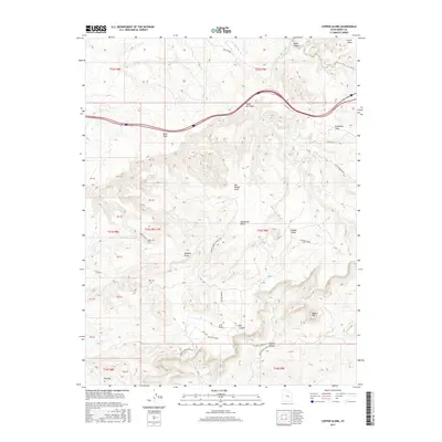
2017 Map of Copper Globe
USGS Topo · Published 2017About this map
San Rafael Swell dominates this landscape, revealing a remote high-desert environment characterized by its complex drainages and stark geologic formations. The area is defined by massive features such as Secret Mesa, Sagebrush Bench, and the prominent Square Top. Human activity is sparse but notable, centered around the Copper Globe landmark and the Copper Globe Landing Strip, which suggest a history of isolated accessibility.
Find a feature on this map
43 named features on this map. Tap any name to fly to it.
Don’t see what you’re looking for? This feature index may not catch every label — zoom into the map to look around manually.
Map Details
Editions of this 2017 Copper Globe Map
This is the sole edition of this map. No revisions or reprints were ever made.
Other maps of this area

1885 · San Rafael
USGS Topo · 1:250,000

1885 · Fish Lake
USGS Topo · 1:250,000

1896 · Fish Lake
USGS Topo · 1:250,000

1952 · Wild Horse
USGS Topo · 1:62,500

1952 · San Rafael Knob
USGS Topo · 1:62,500

1953 · Stinking Spring Creek 2 SE
USGS Topo · 1:24,000

1953 · Emery 4 NE
USGS Topo · 1:24,000

1953 · Emery 1 NE
USGS Topo · 1:24,000

1953 · Emery 1 SE
USGS Topo · 1:24,000

1954 · Stinking Spring Creek 3 NW
USGS Topo · 1:24,000