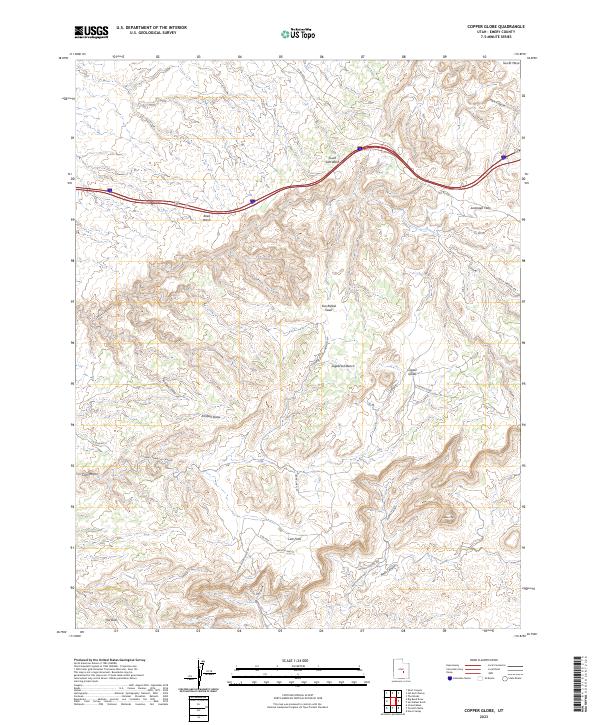
2023 Map of Copper Globe
USGS Topo · Published 2023About this map
San Rafael Swell dominates this landscape in Emery County, where high plateaus and deep drainage systems define the high desert. The map captures the mining and aviation history of the region, specifically at Copper Globe and the nearby Copper Globe Landing Strip. The presence of the Lucky Strike Mine in the southern portion of the sheet points to the era of uranium and mineral exploration that shaped much of this canyon country.
Find a feature on this map
28 named features on this map. Tap any name to fly to it.
Don’t see what you’re looking for? This feature index may not catch every label — zoom into the map to look around manually.
Map Details
Editions of this 2023 Copper Globe Map
This is the sole edition of this map. No revisions or reprints were ever made.
Other maps of this area

1885 · San Rafael
USGS Topo · 1:250,000

1885 · Fish Lake
USGS Topo · 1:250,000

1896 · Fish Lake
USGS Topo · 1:250,000

1952 · Wild Horse
USGS Topo · 1:62,500

1952 · San Rafael Knob
USGS Topo · 1:62,500

1953 · Stinking Spring Creek 2 SE
USGS Topo · 1:24,000

1953 · Emery 4 NE
USGS Topo · 1:24,000

1953 · Emery 1 NE
USGS Topo · 1:24,000

1953 · Emery 1 SE
USGS Topo · 1:24,000

1954 · Stinking Spring Creek 3 NW
USGS Topo · 1:24,000