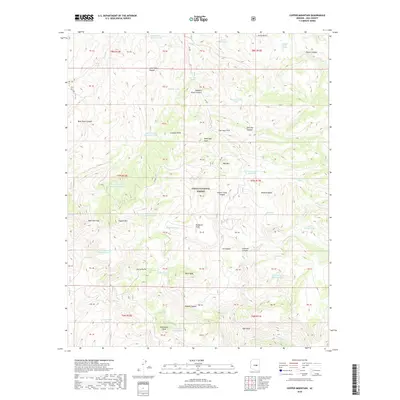
2018 Map of Copper Mountain
USGS Topo · Published 2018About this map
Tonto National Forest land defines this section of Gila County, where the high peaks of the Sierra Ancha range dominate the southern landscape. The terrain is marked by a complex system of drainages, including Salome Cr and Workman Cr, which have carved deep features like Hells Hole and Cataract Canyon into the mountain sides. These seasonal water sources were historically critical for range management, evidenced by the numerous named stock tanks and springs scattered throughout the area.
Find a feature on this map
61 named features on this map. Tap any name to fly to it.
Don’t see what you’re looking for? This feature index may not catch every label — zoom into the map to look around manually.
Map Details
Editions of this 2018 Copper Mountain Map
This is the sole edition of this map. No revisions or reprints were ever made.
Other maps of this area

1886 · Holbrook
USGS Topo · 1:250,000

1887 · Verde
USGS Topo · 1:250,000

1892 · Verde
USGS Topo · 1:250,000

1893 · Holbrook
USGS Topo · 1:250,000

1907 · Roosevelt
USGS Topo · 1:125,000

1909 · Four Peaks
USGS Topo · 1:125,000

1912 · Roosevelt
USGS Topo · 1:125,000

1922 · Chrysotile
USGS Topo · 1:125,000

1937 · Diamond Butte
USGS Topo · 1:48,000

1943 · Diamond Butte
USGS Topo · 1:62,500