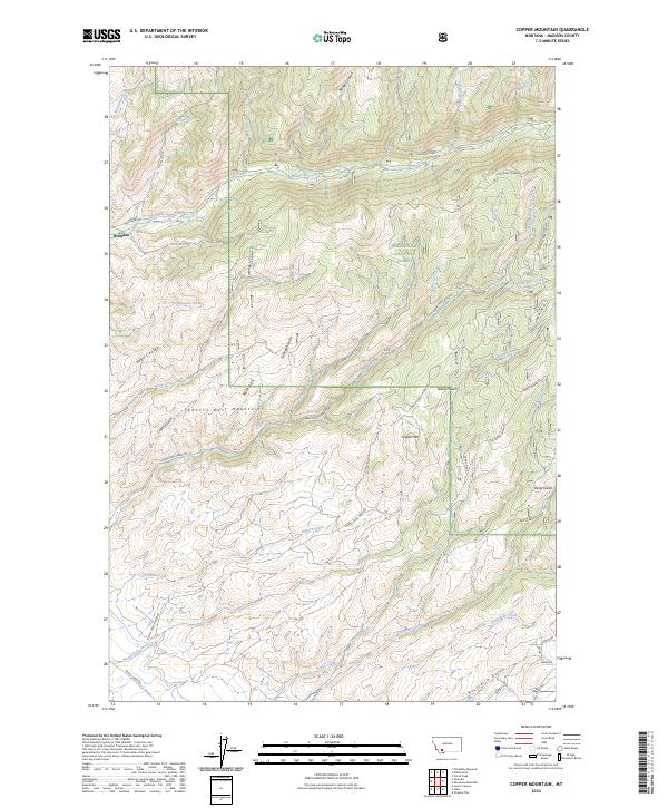
2024 Map of Copper Mountain
USGS Topo · Published 2024About this map
The Tobacco Root Mountains dominate this high-elevation region of Madison County, where steep drainages and mining history define the landscape. Near the settlement of Brandon, the terrain drops toward Mill Creek, while the eastern portion of the sheet is largely contained within the Beaverhead National Forest. This area is marked by a legacy of prospecting and land claims, evidenced by named sites such as the Smith Property and Earl Everett.
Find a feature on this map
51 named features on this map. Tap any name to fly to it.
Don’t see what you’re looking for? This feature index may not catch every label — zoom into the map to look around manually.
Map Details
Editions of this 2024 Copper Mountain Map
This is the sole edition of this map. No revisions or reprints were ever made.
Other maps of this area

1888 · Three Forks
USGS Topo · 1:250,000

1893 · Dillon
USGS Topo · 1:250,000

1894 · Three Forks
USGS Topo · 1:250,000

1895 · Three Forks
USGS Topo · 1:250,000

1947 · Bozeman
USGS Topo · 1:250,000

1948 · Bozeman
USGS Topo · 1:250,000

1950 · Harrison
USGS Topo · 1:62,500

1950 · Virginia City
USGS Topo · 1:62,500

1955 · Bozeman
USGS Topo · 1:250,000

1955 · Dillon
USGS Topo · 1:250,000