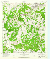
1958 Map of Copperas Cove
USGS Topo · Published 1961About this map
The Gulf Colorado and Santa Fe (AT&SF) railroad defines the northern corridor of this 1950s landscape, connecting the growing community of Copperas Cove with Kempner to the west. The terrain is marked by significant elevation changes, from the prominent Copperas Point overlooking the town to the passage through Ogletree Gap. This era shows a rural landscape in transition, where family burial grounds like Smith Cem and Toby Cem sit near evolving institutions such as the Variety Club Boys Ranch.
Find a feature on this map
30 named features on this map. Tap any name to fly to it.
Don’t see what you’re looking for? This feature index may not catch every label — zoom into the map to look around manually.
Map Details
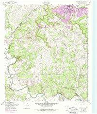
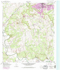
Editions of this 1958 Copperas Cove Map
3 editions found
Other maps of this area

1887 · Lampasas
USGS Topo · 1:125,000

1887 · Burnet
USGS Topo · 1:125,000

1893 · Georgetown
USGS Topo · 1:125,000

1893 · Burnet
USGS Topo · 1:125,000

1894 · Lampasas
USGS Topo · 1:125,000

1894 · Gatesville
USGS Topo · 1:125,000

1903 · Burnet
USGS Topo · 1:125,000

1909 · Burnet
USGS Topo · 1:125,000

1947 · Fort Hood
USGS Topo · 1:62,500

1947 · Fort Hood
USGS Topo · 1:24,000