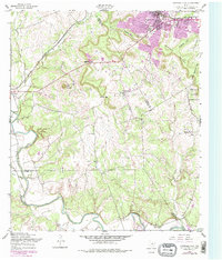
1958 Map of Copperas Cove
USGS Topo · Published 1979About this map
Copperas Cove expanded significantly between the mid-century and late 1970s, as shown by the purple photogrammetric revisions that trace new residential and industrial growth. The landscape is defined by the sharp contrast between the burgeoning town and the neighboring Fort Hood Military Reservation, which occupies the eastern portion of the quadrangle. Transport routes follow the natural gaps in the terrain, such as Ogletree Gap and Starkie Gap, where the Gulf Colorado and Santa Fe railroad runs alongside major roads.
Find a feature on this map
28 named features on this map. Tap any name to fly to it.
Don’t see what you’re looking for? This feature index may not catch every label — zoom into the map to look around manually.
Map Details
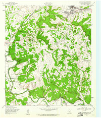
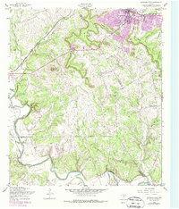
Editions of this 1958 Copperas Cove Map
3 editions found
Other maps of this area

1887 · Lampasas
USGS Topo · 1:125,000

1887 · Burnet
USGS Topo · 1:125,000

1893 · Georgetown
USGS Topo · 1:125,000

1893 · Burnet
USGS Topo · 1:125,000

1894 · Lampasas
USGS Topo · 1:125,000

1894 · Gatesville
USGS Topo · 1:125,000

1903 · Burnet
USGS Topo · 1:125,000

1909 · Burnet
USGS Topo · 1:125,000

1947 · Fort Hood
USGS Topo · 1:62,500

1947 · Fort Hood
USGS Topo · 1:24,000