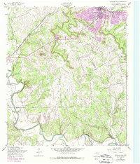
1958 Map of Copperas Cove
USGS Topo · Published 1979About this map
Copperas Cove is shown here as a growing community at the intersection of early transportation routes and military expansion. The northern portion of the map is dominated by the Gulf Colorado and Santa Fe railroad, which parallels Highway 190 as it passes through Kempner. In the hills above the town, the landscape is defined by prominent limestone features such as Copperas Point and the strategic Ogletree Gap.
Find a feature on this map
35 named features on this map. Tap any name to fly to it.
Don’t see what you’re looking for? This feature index may not catch every label — zoom into the map to look around manually.
Map Details
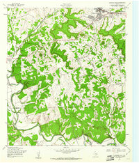
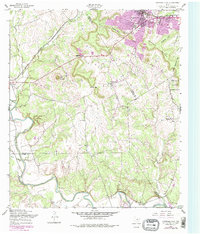
Editions of this 1958 Copperas Cove Map
3 editions found
Other maps of this area

1887 · Lampasas
USGS Topo · 1:125,000

1887 · Burnet
USGS Topo · 1:125,000

1893 · Georgetown
USGS Topo · 1:125,000

1893 · Burnet
USGS Topo · 1:125,000

1894 · Lampasas
USGS Topo · 1:125,000

1894 · Gatesville
USGS Topo · 1:125,000

1903 · Burnet
USGS Topo · 1:125,000

1909 · Burnet
USGS Topo · 1:125,000

1947 · Fort Hood
USGS Topo · 1:62,500

1947 · Fort Hood
USGS Topo · 1:24,000