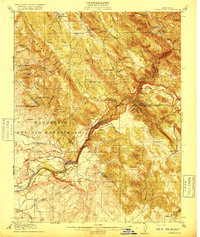
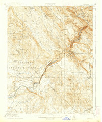
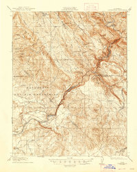
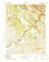
1916 Map of Copperopolis
USGS Topo · Published 1916About this map
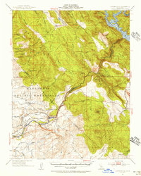
Copperopolis and its surrounding copper-bearing foothills are depicted here during a period of industrial transit and agricultural development. The Stanislaus River serves as the central artery of the landscape, bridged by historic crossings like O'Byrnes Ferry, Central Ferry, and Knights Ferry. The era's mining legacy is deeply etched into the terrain, from the Wilbur-Womble Mine near Hodson to the Napoleon Mine and Alto Mine. This map captures a complex network of early roads such as the Milton Road and Sonora Road, connecting rural outposts like Telegraph City and Keystone. The southern portion of the quadrangle shows the river's transition into the Central Valley, featuring the Goodwin Dam and the Sierra Ry of California. The presence of the Rancheria Del Rio Estanislao land grant reflects the region's diverse heritage of land ownership and settlement.
Find a feature on this map
90 named features on this map. Tap any name to fly to it.
Don’t see what you’re looking for? This feature index may not catch every label — zoom into the map to look around manually.
Map Details
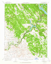
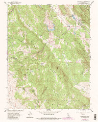
Editions of this 1916 Copperopolis Map
3 editions found
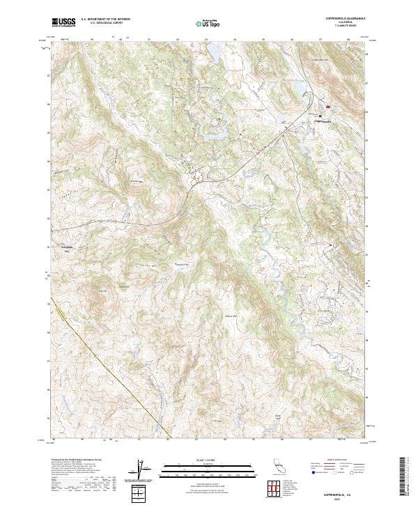
Historical Maps of Knights Ferry Through Time
6 maps found
Featured Locations
- Copper Cove Subdivision, CA
- Copper Cove Village, CA
- Copperopolis, CA
- Telegraph City, CA
- The Shores of Poker Flat, CA