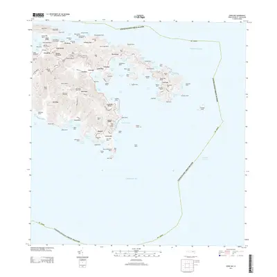
2013 Map of Coral Bay
USGS Topo · Published 2013About this map
The Minna Neger Historic Site stands at the northern edge of this coastal landscape, overlooking a series of bays and inlets that define the eastern geography of St. John. The settlement pattern centers around the protected waters of Coral Harbor and Coral Bay, where the communities of Emmaus, Carolina, and Palestina are situated. This 2013 survey illustrates the modern road network, including The Marsh's Scenic Hwy and The Gerda Marsh Dr, which connect interior points like Bordeaux to the shoreline.
Find a feature on this map
123 named features on this map. Tap any name to fly to it.
Don’t see what you’re looking for? This feature index may not catch every label — zoom into the map to look around manually.
Map Details
Editions of this 2013 Coral Bay Map
This is the sole edition of this map. No revisions or reprints were ever made.
Other maps of this area
1958 · Eastern St. John
USGS Topo · 1:24,000
1958 · Western St. John
USGS Topo · 1:24,000
2013 · Cruz Bay OE N
USGS Topo · 1:20,000
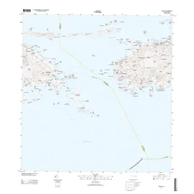
2013 · Cruz Bay
USGS Topo · 1:20,000
2013 · Coral Bay OE N
USGS Topo · 1:20,000
2024 · Coral Bay OE N
USGS Topo · 1:20,000
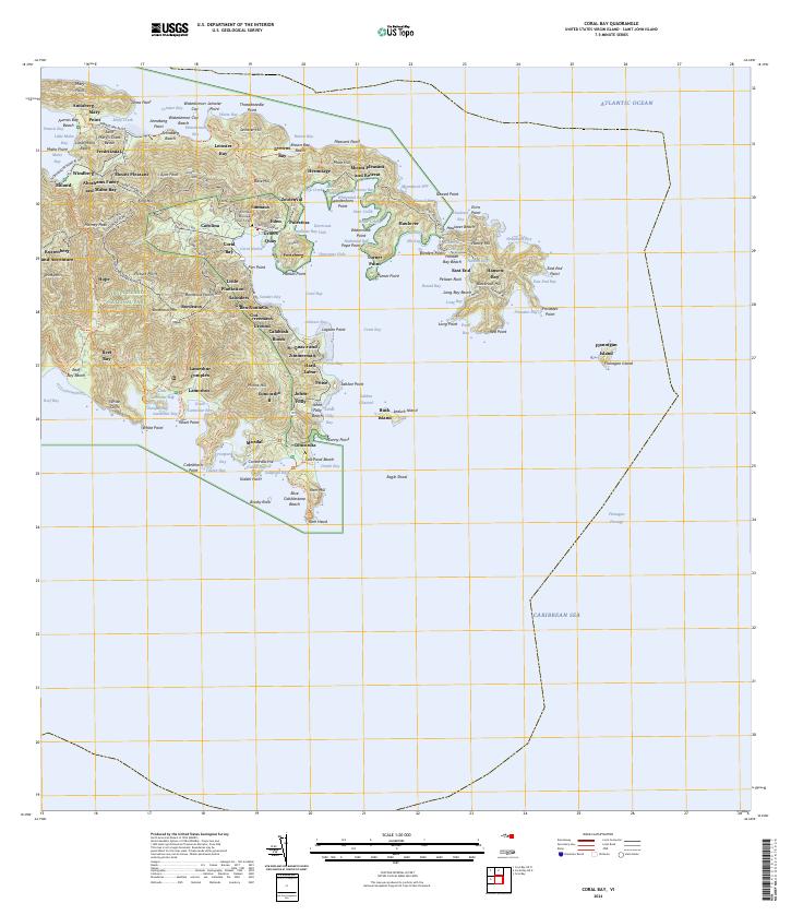
2024 · Coral Bay
USGS Topo · 1:20,000
2024 · Cruz Bay OE N
USGS Topo · 1:20,000
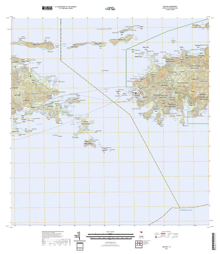
2024 · Cruz Bay
USGS Topo · 1:20,000
Featured Places
- East End, Saint Thomas - Saint John District
- Coral Bay, Saint Thomas - Saint John District
- Coral Harbour, Saint Thomas - Saint John District
- United States Virgin Islands