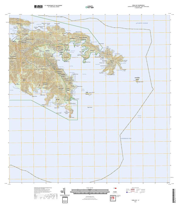
2024 Map of Coral Bay
USGS Topo · Published 2024About this map
Virgin Islands National Park and the Virgin Islands Coral Reef National Monument dominate this coastal landscape, protecting a mix of deep-rooted heritage sites and marine ecosystems. The ruins of the Annaberg Sugar Mill stand near Leinster Bay, serving as a reminder of the island's colonial plantation era. In the heart of the settlement area, Emmaus and the Emmaus Moravian Church Cem anchor the community near Coral Harbor.
Find a feature on this map
138 named features on this map. Tap any name to fly to it.
Don’t see what you’re looking for? This feature index may not catch every label — zoom into the map to look around manually.
Map Details
Editions of this 2024 Coral Bay Map
This is the sole edition of this map. No revisions or reprints were ever made.
Other maps of this area
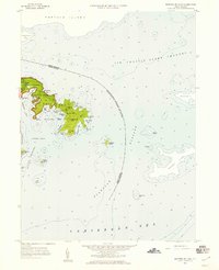
1958 · Eastern St. John
USGS Topo · 1:24,000
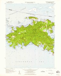
1958 · Western St. John
USGS Topo · 1:24,000
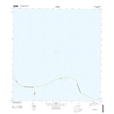
2013 · Cruz Bay OE N
USGS Topo · 1:20,000
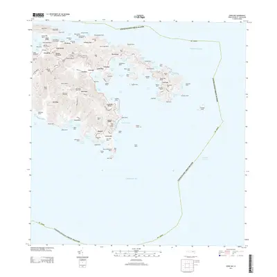
2013 · Coral Bay
USGS Topo · 1:20,000
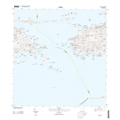
2013 · Cruz Bay
USGS Topo · 1:20,000
2013 · Coral Bay OE N
USGS Topo · 1:20,000
2024 · Coral Bay OE N
USGS Topo · 1:20,000
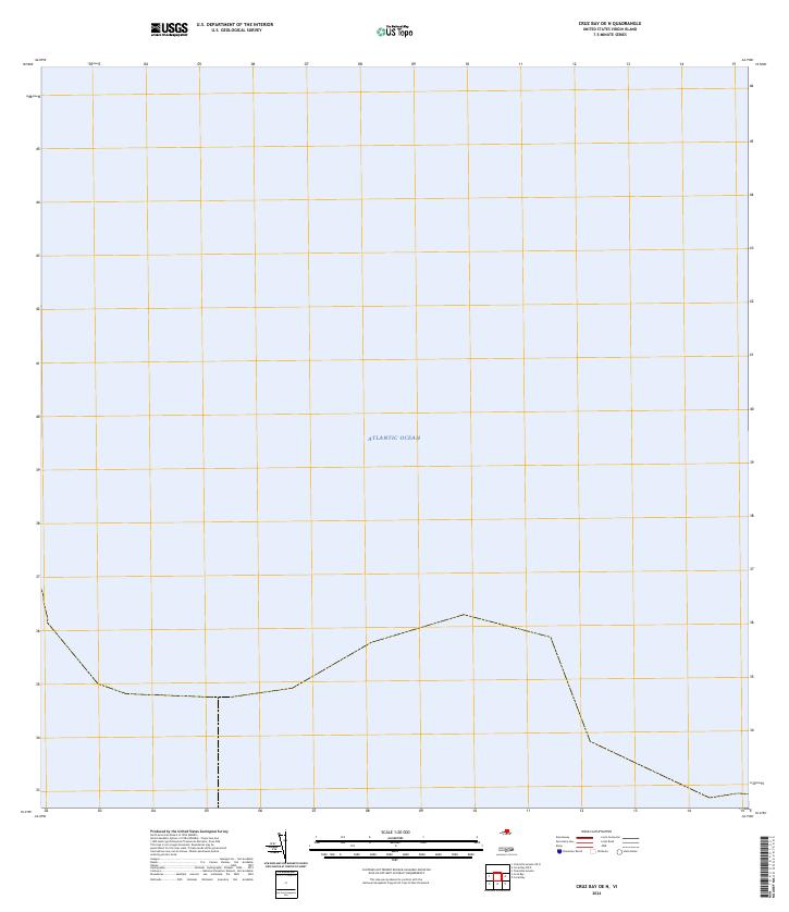
2024 · Cruz Bay OE N
USGS Topo · 1:20,000
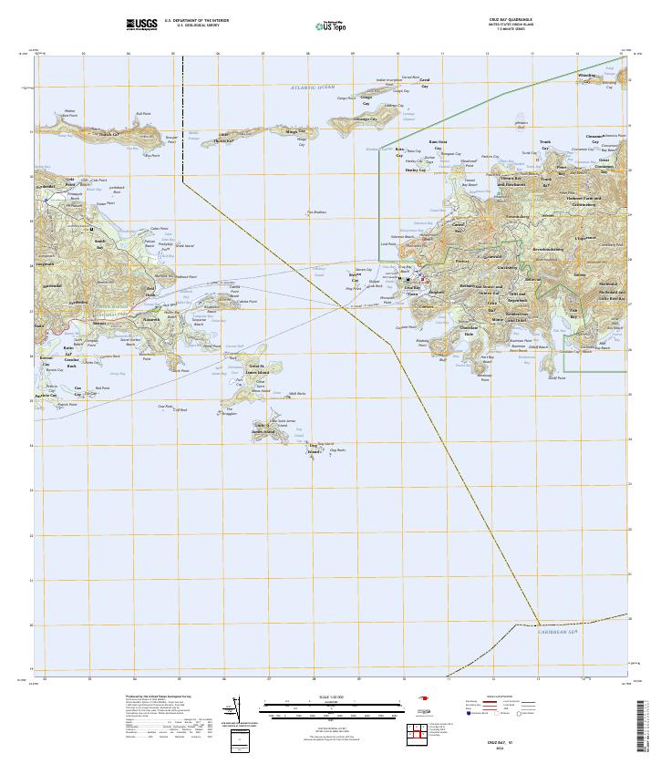
2024 · Cruz Bay
USGS Topo · 1:20,000
Featured Places
- East End, Saint Thomas - Saint John District
- Coral Bay, Saint Thomas - Saint John District
- Coral Harbour, Saint Thomas - Saint John District
- John's Folly, Saint Thomas - Saint John District