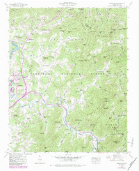
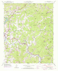
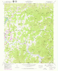
1946 Map of Corbin Knob
USGS Topo · Published 1978About this map
The Little Tennessee River and Cullasaja River converge near Franklin, forming a valley landscape defined by the Nantahala National Forest and the Cowee Mountains. This 1946 field-checked survey, updated in 1978, illustrates a mid-century mountain economy centered on small community hubs like East Franklin and Higdonville. The terrain is dotted with numerous localized institutions, including Holly Springs School and Ridge Crest Church, alongside industrial markers such as Berry Mill and the Porters Bend Dam creating Lake Emory. The presence of the gaging station and various benchmarks suggests the active hydrological management of the river system during this era. Unique local landmarks like Corundum Hill and Angel Cem provide specific points of interest for genealogists and local historians tracking family origins in this part of Macon County.
Find a feature on this map
93 named features on this map. Tap any name to fly to it.
Don’t see what you’re looking for? This feature index may not catch every label — zoom into the map to look around manually.
Map Details
Editions of this 1946 Corbin Knob Map
6 editions found
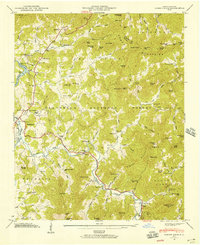
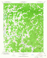
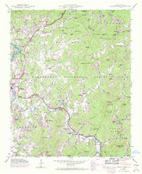
Other maps of this area

1891 · Cowee
USGS Topo · 1:125,000

1897 · Cowee
USGS Topo · 1:125,000

1907 · Cowee
USGS Topo · 1:125,000

1933 · Bryson
USGS Topo · 1:62,500

1935 · Franklin
USGS Topo · 1:24,000

1935 · Prentiss
USGS Topo · 1:24,000

1935 · Cullowhee
USGS Topo · 1:24,000

1935 · Scaly
USGS Topo · 1:24,000

1935 · Glenville
USGS Topo · 1:24,000

1935 · Corbin Knob
USGS Topo · 1:24,000