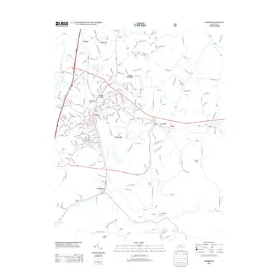
2013 Map of Corbin
USGS Topo · Published 2013About this map
Corbin and its surrounding communities are documented here during a period of significant regional connectivity in southeastern Kentucky. The landscape is defined by the winding course of Lynn Camp Cr and its tributaries, including E Fork Lynn Camp Cr, which drain the valleys between Bolton Ridge Rd and Candle Ridge. Local genealogy is well-represented through numerous burial sites such as Resthaven Cem, Pine Hill Cem, and the family-named Harts Cem near Moore Hill. The map traces the industrial and recreational footprint of the area, from the Corbin Municipal Golf Course and modern Industrial Blvd to more remote settlements like Wilton near Wilton Lake and Steel Hollow. Smaller hamlets like Dorthae, Hopewell, and Woodbine are linked by a dense network of roads like Old Barbourville Rd, illustrating the transition from rural land use to suburban development.
Find a feature on this map
59 named features on this map. Tap any name to fly to it.
Don’t see what you’re looking for? This feature index may not catch every label — zoom into the map to look around manually.
Map Details
Editions of this 2013 Corbin Map
This is the sole edition of this map. No revisions or reprints were ever made.
Other maps of this area

1886 · Cumberland Gap
USGS Topo · 1:125,000

1888 · Cumberland Gap
USGS Topo · 1:125,000

1890 · Williamsburg
USGS Topo · 1:125,000

1891 · Manchester
USGS Topo · 1:125,000

1891 · Cumberland Gap
USGS Topo · 1:125,000

1893 · London
USGS Topo · 1:125,000

1894 · Williamsburg
USGS Topo · 1:125,000

1897 · London
USGS Topo · 1:125,000

1952 · Corbin
USGS Topo · 1:24,000

1952 · Wofford
USGS Topo · 1:24,000