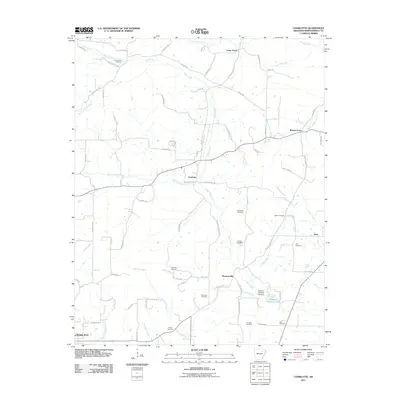
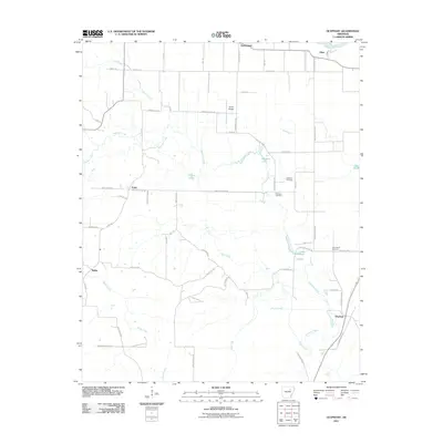
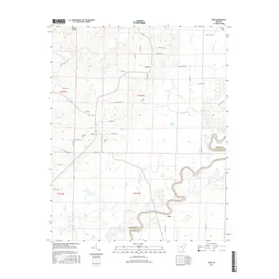
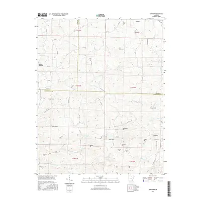
2024 Map of Cord
USGS Topo · Published 2024About this map
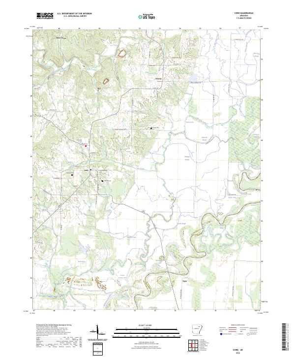
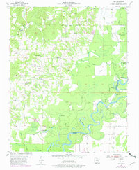
Cord and Dowdy anchor this landscape along the border of Independence and Jackson counties, where the high ground of the Ozark foothills meets the alluvial wetlands of the Black River. The mapping reveals a complex network of backwaters and oxbows, including Horseshoe Lake, Yoncopin Lake, and the Whisnant Old River, which trace the historical movement of the river channel across the bottomlands. For genealogists, the map identifies several local burial sites such as Happy Cem, Hopewell Cem, and Williams Cem, often located near crossroads or older family homesteads. The terrain is defined by the transition from elevations like Turkey Hill and Anderson Hill down to the sprawling swamp systems of Saltwork Slough and Milligan Slough. This modern survey documents the persistent rural character of these communities, where small settlements like Hazel Grove remain connected by long-established routes like Cord Rd and Elgin Rd.
Find a feature on this map
67 named features on this map. Tap any name to fly to it.
Don’t see what you’re looking for? This feature index may not catch every label — zoom into the map to look around manually.
Map Details
Editions of this 2024 Cord Map
This is the sole edition of this map. No revisions or reprints were ever made.
Historical Maps of Elgin Through Time
38 maps found
1942 Jamestown
Independence County, AR
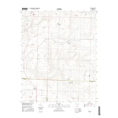
1943 Sandtown
Independence County, AR
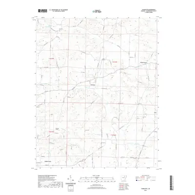
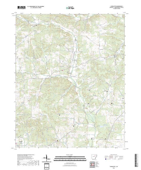
1954 Charlotte
Independence County, AR
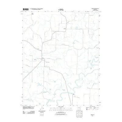
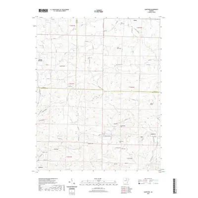
1955 Cord
Independence County, AR
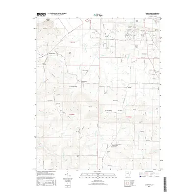
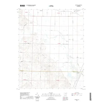
1962 Olyphant
Independence County, AR
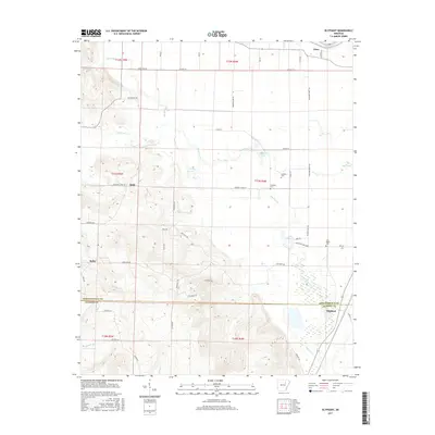
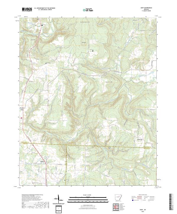
1965 Huff
Independence County, AR
1965 Jamestown
Independence County, AR

1989 Sandtown
Independence County, AR
2011 Charlotte
Independence County, AR
2011 Cord
Independence County, AR
2011 Huff
Independence County, AR
2011 Jamestown
Independence County, AR
2011 Olyphant
Independence County, AR
2011 Sandtown
Independence County, AR
2014 Charlotte
Independence County, AR

2014 Cord
Independence County, AR
2014 Huff
Independence County, AR
2014 Jamestown
Independence County, AR
2014 Olyphant
Independence County, AR
2014 Sandtown
Independence County, AR
2017 Charlotte
Independence County, AR
2017 Cord
Independence County, AR
2017 Huff
Independence County, AR
2017 Jamestown
Independence County, AR
2017 Olyphant
Independence County, AR
2017 Sandtown
Independence County, AR
2020 Charlotte
Independence County, AR

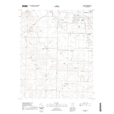
2020 Cord
Independence County, AR
2020 Huff
Independence County, AR
2020 Jamestown
Independence County, AR
2020 Olyphant
Independence County, AR
2020 Sandtown
Independence County, AR
2024 Charlotte
Independence County, AR
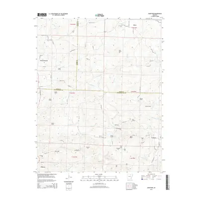
2024 Cord
Independence County, AR
2024 Huff
Independence County, AR
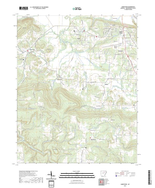
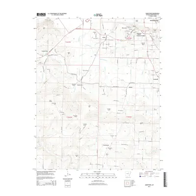
2024 Jamestown
Independence County, AR
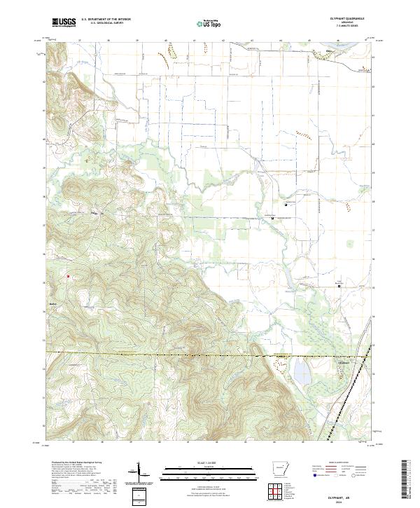
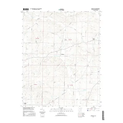
2024 Olyphant
Independence County, AR
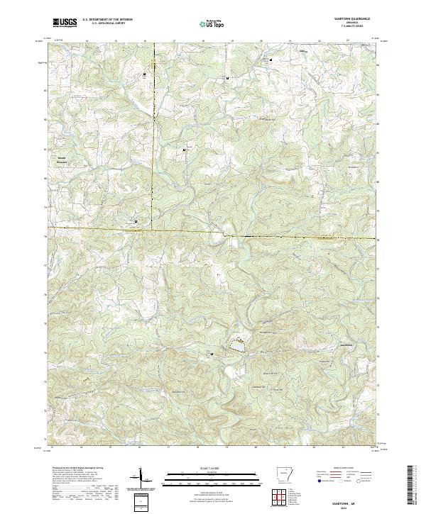
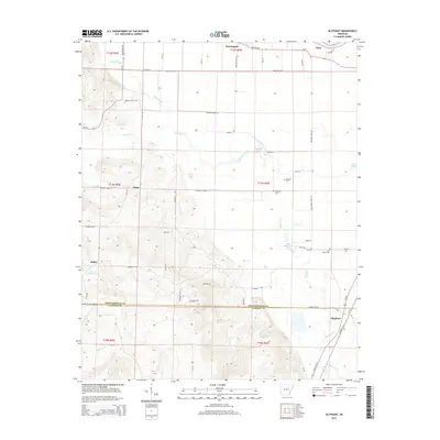
2024 Sandtown
Independence County, AR