
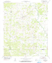
1955 Map of Strawberry
USGS Topo · Published 1956About this map
Strawberry and Saffell anchor this mid-1950s survey of the Ozark foothills, where the Strawberry River meanders through eastern Lawrence County. The landscape is defined by its deep genealogical roots, evidenced by more than a dozen family-named burial sites including Willmuth, Runyan, Ashby, and McNutt cemeteries. These small, scattered plots are often paired with country houses of worship like Campground Ch and Rosebud Ch, illustrating the tight-knit rural community structure of mid-century Arkansas.
Find a feature on this map
40 named features on this map. Tap any name to fly to it.
Don’t see what you’re looking for? This feature index may not catch every label — zoom into the map to look around manually.
Map Details
Editions of this 1955 Strawberry Map
2 editions found
Other maps of this area

1932 · Strawberry
USGS Topo · 1:62,500

1934 · Powhatan
USGS Topo · 1:62,500

1935 · Powhatan
USGS Topo · 1:62,500

1935 · Alicia
USGS Topo · 1:62,500

1935 · Strawberry
USGS Topo · 1:62,500

1941 · Strawberry
USGS Topo · 1:62,500

1953 · Memphis
USGS Topo · 1:250,000

1954 · Charlotte
USGS Topo · 1:24,000

1955 · Cord
USGS Topo · 1:24,000

1956 · Memphis
USGS Topo · 1:250,000