
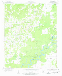
1955 Map of Cord
USGS Topo · Published 1956About this map
The Black River meanders through the landscape of Independence and Jackson counties in this mid-1950s survey, defining a region rich with oxbow lakes and complex sloughs. Natural features like Horseshoe Lake, Lower Curia Lake, and Goose Lake testify to the river's shifting course over time. The settlement of Cord sits at the center of a network of local roads, supported by small rural communities such as Dowdy and Elgin. This map is particularly valuable for genealogical research, documenting several local houses of worship including Stone Ch, Oak Ridge Ch, and Hopewell Ch. Family history is further anchored by the presence of Happy Cem, Hopewell Cem, and Williams Cem, providing a precise record of these community landmarks as they existed before modern development or consolidation.
Find a feature on this map
47 named features on this map. Tap any name to fly to it.
Don’t see what you’re looking for? This feature index may not catch every label — zoom into the map to look around manually.
Map Details
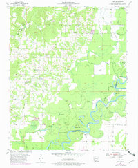
Editions of this 1955 Cord Map
Other maps of this area

1932 · Strawberry
USGS Topo · 1:62,500

1935 · Alicia
USGS Topo · 1:62,500

1935 · Strawberry
USGS Topo · 1:62,500

1935 · Newport
USGS Topo · 1:62,500

1935 · Tuckerman
USGS Topo · 1:62,500

1941 · Strawberry
USGS Topo · 1:62,500

1953 · Memphis
USGS Topo · 1:250,000

1954 · Charlotte
USGS Topo · 1:24,000

1955 · Strawberry
USGS Topo · 1:24,000

1956 · Memphis
USGS Topo · 1:250,000