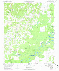
1955 Map of Cord
USGS Topo · Published 1982About this map
The Black River meanders through the landscape of the Arkansas Delta and Ozark foothills, defining the border between Independence and Jackson counties. This 1950s survey captures a rural landscape where small communities like Cord and Dowdy serve as local hubs for the surrounding farmsteads. The terrain is a complex network of wetlands and former river channels, evidenced by numerous sloughs and oxbow lakes such as Horseshoe Lake, Goose Lake, and Lower Curia Lake.
Find a feature on this map
39 named features on this map. Tap any name to fly to it.
Don’t see what you’re looking for? This feature index may not catch every label — zoom into the map to look around manually.
Map Details
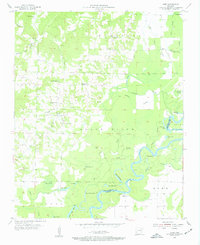
Editions of this 1955 Cord Map
Other maps of this area

1932 · Strawberry
USGS Topo · 1:62,500

1935 · Alicia
USGS Topo · 1:62,500

1935 · Strawberry
USGS Topo · 1:62,500

1935 · Newport
USGS Topo · 1:62,500

1935 · Tuckerman
USGS Topo · 1:62,500

1941 · Strawberry
USGS Topo · 1:62,500

1953 · Memphis
USGS Topo · 1:250,000

1954 · Charlotte
USGS Topo · 1:24,000

1955 · Strawberry
USGS Topo · 1:24,000

1955 · Cord
USGS Topo · 1:24,000