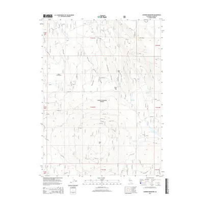
2015 Map of Corders Reservoir
USGS Topo · Published 2015About this map
Lassen National Forest dominates the high-country landscape of northern California in this 2015 survey, where water management and forest service infrastructure define the terrain. The central prominence of Blacks Mtn and the adjacent Blacks Ridge are dotted with critical fire-prevention and monitoring points, including the Blacks Ridge Lookout. Numerous water sources are mapped throughout the timberland, ranging from natural seeps like Mud Spring and Gibbs Spring to man-made impoundments such as Corders Reservoir and Busters Reservoir. These water features likely served both historical grazing operations and modern fire suppression efforts.
Find a feature on this map
56 named features on this map. Tap any name to fly to it.
Don’t see what you’re looking for? This feature index may not catch every label — zoom into the map to look around manually.
Map Details
Editions of this 2015 Corders Reservoir Map
This is the sole edition of this map. No revisions or reprints were ever made.
Other maps of this area

1886 · Lassen Peak
USGS Topo · 1:250,000

1892 · Lassen Peak
USGS Topo · 1:250,000

1894 · Lassen Peak
USGS Topo · 1:250,000

1939 · Halls Flat
USGS Topo · 1:125,000

1955 · Westwood
USGS Topo · 1:250,000

1956 · Harvey Mtn
USGS Topo · 1:62,500

1957 · Prospect Peak
USGS Topo · 1:62,500

1957 · Little Valley
USGS Topo · 1:62,500

1957 · Jellico
USGS Topo · 1:62,500

1958 · Westwood
USGS Topo · 1:250,000