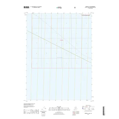
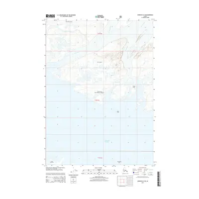
2018 Map of Cordova A-4 NW
USGS Topo · Published 2018About this map
The Gulf of Alaska dominates the southern reaches of this 2018 survey, where the open sea meets the Alaskan coastline in the Valdez-Cordova Census Area. To the north, the protected boundaries of the Chugach National Forest encompass a landscape primarily defined by its natural state and administrative designations like t19s r1w. This map captures a coastal wilderness largely devoid of modern development, providing a clear view of the shoreline and the vast maritime horizon as they were recorded at the end of the second decade of the 2000s.
Find a feature on this map
3 named features on this map. Tap any name to fly to it.
Don’t see what you’re looking for? This feature index may not catch every label — zoom into the map to look around manually.
Map Details
Editions of this 2018 Cordova A-4 NW Map
This is the sole edition of this map. No revisions or reprints were ever made.
Other maps of this area

1948 · Cordova
USGS Topo · 1:250,000

1951 · Cordova
USGS Topo · 1:250,000

1951 · Cordova B-4
USGS Topo · 1:63,360

1951 · Cordova B-5
USGS Topo · 1:63,360

1953 · Cordova B-5
USGS Topo · 1:63,360

1959 · Cordova
USGS Topo · 1:250,000
1988 · Cordova A-4
USGS Topo · 1:63,360
1994 · Cordova B-4
USGS Topo · 1:63,360
2000 · Cordova B-5
USGS Topo · 1:63,360
2014 · Cordova B-4 SE
USGS Topo · 1:25,000