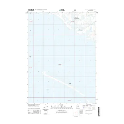
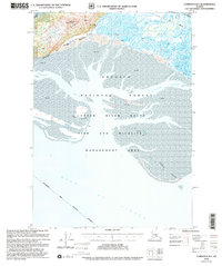
2014 Map of Cordova B-4 SW
USGS Topo · Published 2014About this map
The Chugach National Forest shoreline meets the shifting waters of the north Pacific in this coastal survey. The landscape is defined by a complex network of tidally influenced channels, notably Walhalla Slough and Gus Steven Slough, which thread through the marshy transition between the mainland and the sea. These waterways serve as the primary drainage for the alluvial flats before opening into the Gulf of Alaska. Seaward, the dynamic nature of the coast is evident in features like Copper Sands and Grass Island Bar, which provide protection for the inner sloughs. This map documents the precise configuration of these shoals and sandbars as they appeared following the SPOT imagery and National Hydrography Dataset updates of the early 21st century.
Find a feature on this map
11 named features on this map. Tap any name to fly to it.
Don’t see what you’re looking for? This feature index may not catch every label — zoom into the map to look around manually.
Map Details
Editions of this 2014 Cordova B-4 SW Map
This is the sole edition of this map. No revisions or reprints were ever made.
Other maps of this area

1948 · Cordova
USGS Topo · 1:250,000

1951 · Cordova
USGS Topo · 1:250,000

1951 · Cordova B-4
USGS Topo · 1:63,360

1951 · Cordova B-5
USGS Topo · 1:63,360

1953 · Cordova B-5
USGS Topo · 1:63,360

1959 · Cordova
USGS Topo · 1:250,000
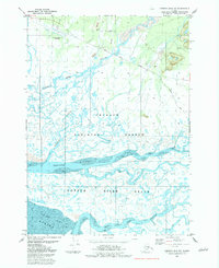
1983 · Cordova B-4 NW
USGS Topo · 1:25,000
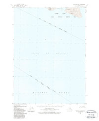
1988 · Cordova A-4
USGS Topo · 1:63,360
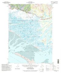
1994 · Cordova B-4
USGS Topo · 1:63,360
2000 · Cordova B-5
USGS Topo · 1:63,360