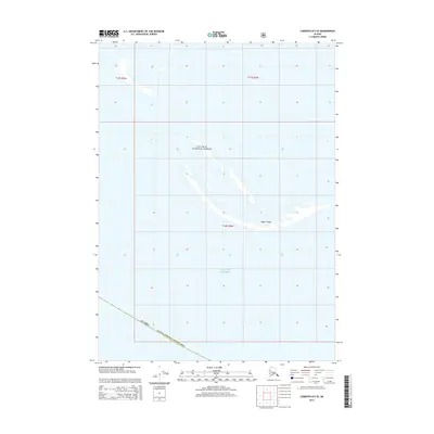
2014 Map of Cordova B-5 SE
USGS Topo · Published 2014About this map
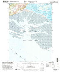
Chugach National Forest encompasses the northern portion of this coastal sheet, where the land meets the shifting tides of the Gulf of Alaska. This maritime environment is defined by the ephemeral nature of the Copper Sands, a series of coastal bars and flats that demonstrate the active sediment transport systems at the edge of the Alaska Valdez-Cordova Census Area. The map reveals a landscape almost entirely shaped by water and tide, with very little permanent human infrastructure. The presence of the Public Land Survey System grids, including t18s r2w, provides a structural framework over this otherwise fluid shoreline, serving as a primary point of reference for researchers tracing federal land boundaries or maritime history in this portion of the Unorganized Borough.
Find a feature on this map
7 named features on this map. Tap any name to fly to it.
Don’t see what you’re looking for? This feature index may not catch every label — zoom into the map to look around manually.
Map Details
Editions of this 2014 Cordova B-5 SE Map
This is the sole edition of this map. No revisions or reprints were ever made.
Other maps of this area

1948 · Cordova
USGS Topo · 1:250,000

1951 · Cordova
USGS Topo · 1:250,000

1951 · Cordova B-4
USGS Topo · 1:63,360

1951 · Cordova B-5
USGS Topo · 1:63,360

1953 · Cordova B-5
USGS Topo · 1:63,360

1959 · Cordova
USGS Topo · 1:250,000
1983 · Cordova B-4 NW
USGS Topo · 1:25,000
1988 · Cordova A-4
USGS Topo · 1:63,360
1994 · Cordova B-4
USGS Topo · 1:63,360
2000 · Cordova B-5
USGS Topo · 1:63,360