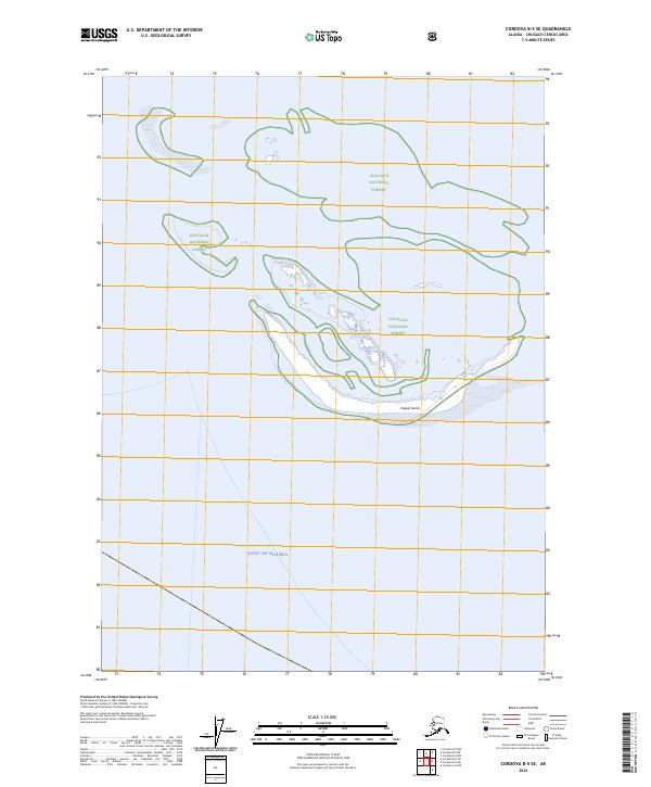
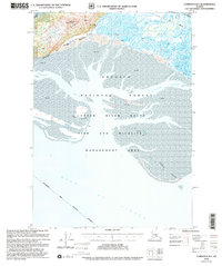
2024 Map of Cordova B-5 SE
USGS Topo · Published 2024About this map
Chugach National Forest dominates the upper half of this coastal quadrangle, marking a rugged intersection between the Alaskan wilderness and the sea. The map focuses on the shifting littoral landscape where the mainland meets the Gulf of Alaska. A prominent feature of this dynamic shoreline is Copper Sands, a series of coastal deposits that illustrate the ongoing geomorphological changes in the Copper River delta region. The absence of roads or permanent settlements within these boundaries underscores the preservation of this area as a natural sanctuary, defined primarily by its tidal flats and maritime boundary lines like t17s r2w and t18s r2w.
Find a feature on this map
6 named features on this map. Tap any name to fly to it.
Don’t see what you’re looking for? This feature index may not catch every label — zoom into the map to look around manually.
Map Details
Editions of this 2024 Cordova B-5 SE Map
This is the sole edition of this map. No revisions or reprints were ever made.
Other maps of this area

1948 · Cordova
USGS Topo · 1:250,000

1951 · Cordova
USGS Topo · 1:250,000

1951 · Cordova B-4
USGS Topo · 1:63,360

1951 · Cordova B-5
USGS Topo · 1:63,360

1953 · Cordova B-5
USGS Topo · 1:63,360

1959 · Cordova
USGS Topo · 1:250,000
1983 · Cordova B-4 NW
USGS Topo · 1:25,000
1988 · Cordova A-4
USGS Topo · 1:63,360
1994 · Cordova B-4
USGS Topo · 1:63,360
2000 · Cordova B-5
USGS Topo · 1:63,360