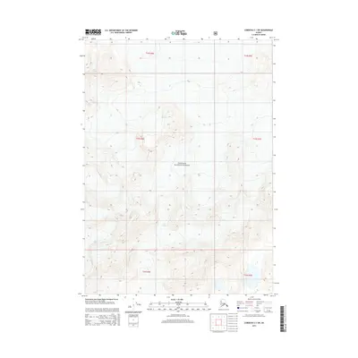
2014 Map of Cordova C-1 SW
USGS Topo · Published 2014About this map
The ice-sculpted terrain of the Chugach National Forest dominates this Alaskan landscape, where the movement of heavy ice sheets has carved deep valleys and high ridgelines. Large-scale glacial activity is the primary geological driver here, anchored by the massive Miles Glacier in the northwest and Slide Glacier further south. These frozen rivers illustrate the ongoing process of alpine glaciation and the hydrological network that feeds the region's broader river systems. Johnson Glacier also marks the lower southwest corner, indicating the dense concentration of perennial ice fields in this portion of the Unorganized Borough. The map's contour lines trace the steep elevation changes between these glacial basins, providing a detailed record of the physical geography before contemporary climate shifts significantly alter these ice masses.
Find a feature on this map
10 named features on this map. Tap any name to fly to it.
Don’t see what you’re looking for? This feature index may not catch every label — zoom into the map to look around manually.
Map Details
Editions of this 2014 Cordova C-1 SW Map
This is the sole edition of this map. No revisions or reprints were ever made.
Other maps of this area

1948 · Cordova
USGS Topo · 1:250,000

1950 · Cordova B-2
USGS Topo · 1:63,360

1951 · Cordova
USGS Topo · 1:250,000

1951 · Cordova B-1
USGS Topo · 1:63,360

1953 · Cordova B-1
USGS Topo · 1:63,360

1953 · Cordova B-2
USGS Topo · 1:63,360

1959 · Cordova C-2
USGS Topo · 1:63,360

1959 · Cordova C-1
USGS Topo · 1:63,360

1959 · Cordova
USGS Topo · 1:250,000
1997 · Cordova B-2
USGS Topo · 1:63,360