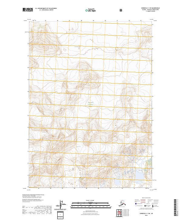
2024 Map of Cordova C-1 SW
USGS Topo · Published 2024About this map
Miles Glacier dominates the northern expanse of this glacial landscape within the Chugach National Forest. The map documents the immense ice masses of the Copper River region, where the Johnson Glacier and Slide Glacier carve through the high-elevation terrain. This 2024 survey provides a modern snapshot of these dynamic ice bodies, illustrating the intricate contours of the glacial valleys and the vast, uninhabited wilderness that characterizes this portion of the Chugach Mountains. The absence of roads or settlements emphasizes the remote nature of these active glaciers and the surrounding forest lands.
Find a feature on this map
13 named features on this map. Tap any name to fly to it.
Don’t see what you’re looking for? This feature index may not catch every label — zoom into the map to look around manually.
Map Details
Editions of this 2024 Cordova C-1 SW Map
This is the sole edition of this map. No revisions or reprints were ever made.
Other maps of this area

1948 · Cordova
USGS Topo · 1:250,000

1950 · Cordova B-2
USGS Topo · 1:63,360

1951 · Cordova
USGS Topo · 1:250,000

1951 · Cordova B-1
USGS Topo · 1:63,360

1953 · Cordova B-1
USGS Topo · 1:63,360

1953 · Cordova B-2
USGS Topo · 1:63,360

1959 · Cordova C-2
USGS Topo · 1:63,360

1959 · Cordova C-1
USGS Topo · 1:63,360

1959 · Cordova
USGS Topo · 1:250,000
1997 · Cordova B-2
USGS Topo · 1:63,360