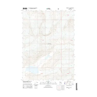
2014 Map of Cordova C-2 SE
USGS Topo · Published 2014About this map
Miles Glacier dominates the northern reaches of this landscape, its massive icy tongue extending across the terrain within the Chugach National Forest. The geography is defined by these slow-moving ice masses, with McPherson Glacier and Johnson Glacier carving out high alpine valleys nearby. Small pockets of open water, such as Lost Lake, dot the terminal ends of these frozen rivers, illustrating the dynamic hydrology of the Alaskan coast. This 2014 survey records the exact footprints of these glaciers as they appeared in the early 21st century, providing a critical data point for environmental historians and glaciologists studying the shifting ice fields of the Copper River delta region.
Find a feature on this map
11 named features on this map. Tap any name to fly to it.
Don’t see what you’re looking for? This feature index may not catch every label — zoom into the map to look around manually.
Map Details
Editions of this 2014 Cordova C-2 SE Map
This is the sole edition of this map. No revisions or reprints were ever made.
Other maps of this area

1948 · Cordova
USGS Topo · 1:250,000

1950 · Cordova B-2
USGS Topo · 1:63,360

1951 · Cordova
USGS Topo · 1:250,000

1951 · Cordova B-1
USGS Topo · 1:63,360

1953 · Cordova B-1
USGS Topo · 1:63,360

1953 · Cordova B-2
USGS Topo · 1:63,360

1959 · Cordova C-2
USGS Topo · 1:63,360

1959 · Cordova C-1
USGS Topo · 1:63,360

1959 · Cordova
USGS Topo · 1:250,000
1997 · Cordova B-2
USGS Topo · 1:63,360