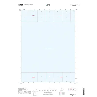
2018 Map of Cordova C-7 SW
USGS Topo · Published 2018About this map
Prince William Sound dominates this coastal Alaska survey, which captures a nearly pure marine expanse within the Unorganized Borough. This specific area is characterized by its absence of terrestrial elevation data, reflecting the open-water nature of this maritime region. The map is organized through large township and range blocks, including t14s r8w, t14s r7w, t16s r8w, and t16s r7w, which provide the legal framework for the Alaskan wilderness and waters. Modern data from the 21st century reveals the precise grid lines used by the U.S. Geological Survey to navigate and manage these remote northern reaches.
Find a feature on this map
5 named features on this map. Tap any name to fly to it.
Don’t see what you’re looking for? This feature index may not catch every label — zoom into the map to look around manually.
Map Details
Editions of this 2018 Cordova C-7 SW Map
This is the sole edition of this map. No revisions or reprints were ever made.
Other maps of this area

1948 · Cordova
USGS Topo · 1:250,000

1950 · Cordova C-7
USGS Topo · 1:63,360

1950 · Cordova B-7
USGS Topo · 1:63,360

1950 · Cordova C-8
USGS Topo · 1:63,360

1951 · Cordova
USGS Topo · 1:250,000

1951 · Cordova B-8
USGS Topo · 1:63,360

1952 · Cordova C-8
USGS Topo · 1:63,360

1953 · Cordova B-7
USGS Topo · 1:63,360
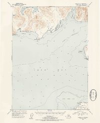
1953 · Cordova C-7
USGS Topo · 1:63,360
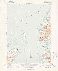
1953 · Cordova B-8
USGS Topo · 1:63,360