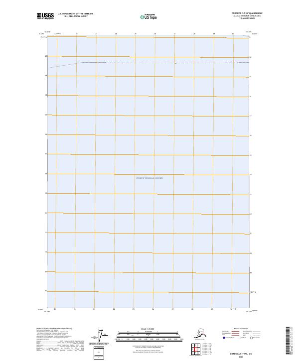
2024 Map of Cordova C-7 SW
USGS Topo · Published 2024About this map
Prince William Sound dominates this coastal landscape in the Chugach Census Area. This 2024 edition depicts the expansive waters and surveyed township and range boundaries including t14s r8w, t14s r7w, t16s r8w, and t16s r7w. The map focuses primarily on the maritime environment and the administrative grid established by the U.S. Geological Survey and the Bureau of Land Management. As a modern digital product, it integrates hydrography and public land data to delineate the interface between the sound and the surrounding Alaskan terrain.
Find a feature on this map
5 named features on this map. Tap any name to fly to it.
Don’t see what you’re looking for? This feature index may not catch every label — zoom into the map to look around manually.
Map Details
Editions of this 2024 Cordova C-7 SW Map
This is the sole edition of this map. No revisions or reprints were ever made.
Other maps of this area

1948 · Cordova
USGS Topo · 1:250,000

1950 · Cordova C-7
USGS Topo · 1:63,360

1950 · Cordova B-7
USGS Topo · 1:63,360

1950 · Cordova C-8
USGS Topo · 1:63,360

1951 · Cordova
USGS Topo · 1:250,000

1951 · Cordova B-8
USGS Topo · 1:63,360

1952 · Cordova C-8
USGS Topo · 1:63,360

1953 · Cordova B-7
USGS Topo · 1:63,360
1953 · Cordova C-7
USGS Topo · 1:63,360
1953 · Cordova B-8
USGS Topo · 1:63,360