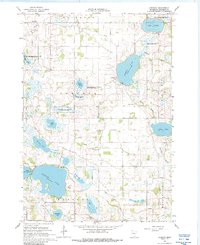
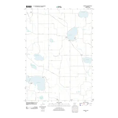
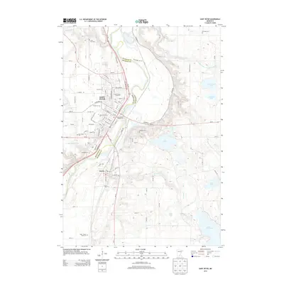
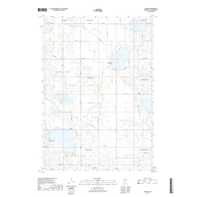
1966 Map of Cordova
USGS Topo · Published 1988About this map
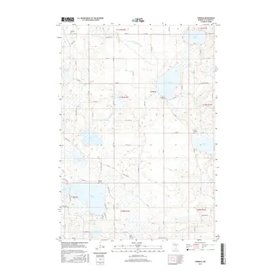
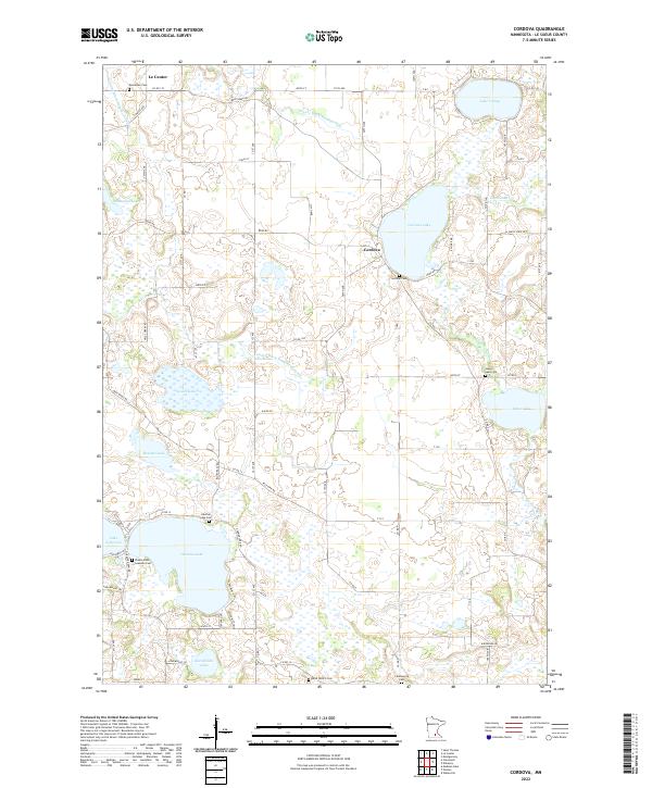
Lake Volney and the surrounding glacial lake country of Le Sueur County are documented in this mid-1960s survey, revealing a landscape defined by water and conservation. The village of Cordova serves as a local hub, situated near the Gorman Cem and the Gorman Lake Spillway. This era shows a significant commitment to habitat preservation, with numerous dedicated zones including the Paddy Marsh State Wildlife Management Area, the Shanghai Lake State Wildlife Management Area, and the Chadderdon State Wildlife Management Area. Numerous small gravel pits dot the terrain, pointing to local infrastructure needs of the period. For genealogists, the map identifies several rural landmarks including St Pauls Ch, St Peters Ch, and the Woodlawn Cem, providing precise locations for community centers that shaped life in Lexington and Cordova townships.
Find a feature on this map
33 named features on this map. Tap any name to fly to it.
Don’t see what you’re looking for? This feature index may not catch every label — zoom into the map to look around manually.
Map Details
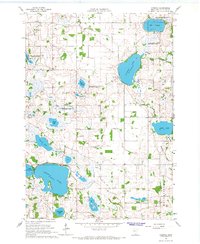
Editions of this 1966 Cordova Map
2 editions found
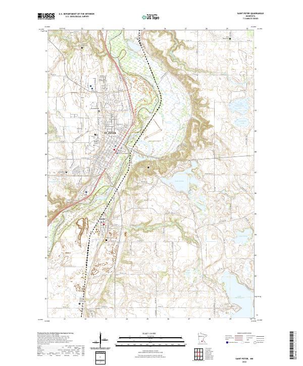
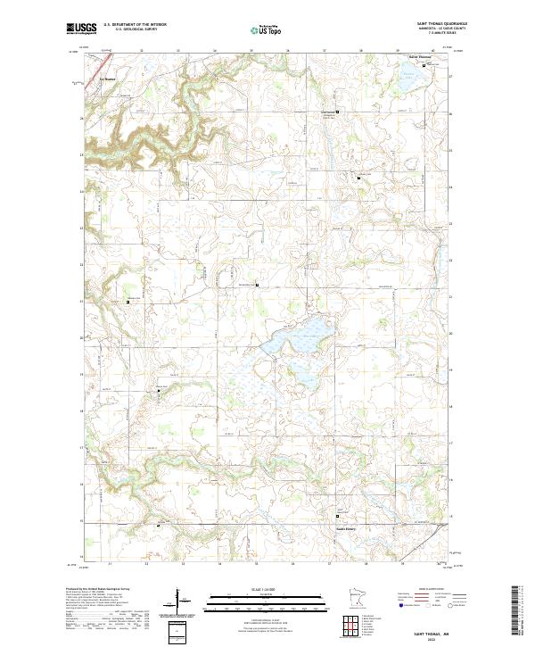
Historical Maps of Le Center Through Time
18 maps found
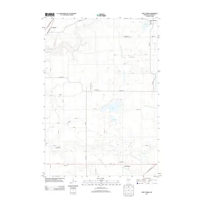
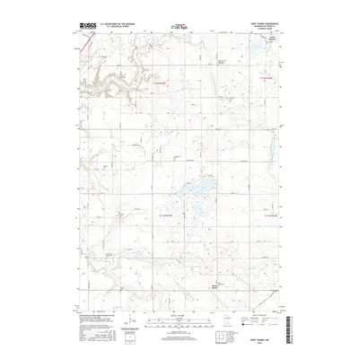
1965 St Thomas
Le Sueur County, MN
1966 Cordova
Le Sueur County, MN
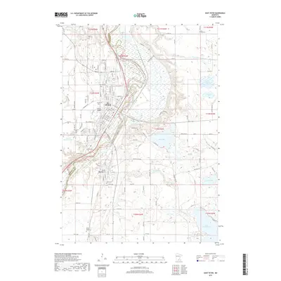
1991 St Peter
Le Sueur County, MN
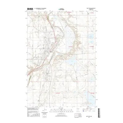
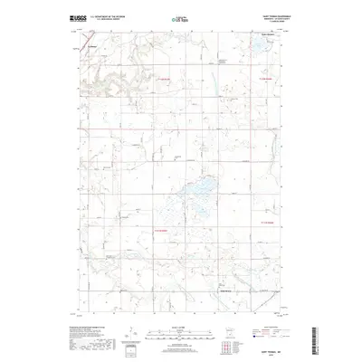
2010 Cordova
Le Sueur County, MN
2010 Saint Peter
Le Sueur County, MN
2010 Saint Thomas
Le Sueur County, MN
2013 Cordova
Le Sueur County, MN
2013 Saint Peter
Le Sueur County, MN
2013 Saint Thomas
Le Sueur County, MN
2016 Cordova
Le Sueur County, MN
2016 Saint Peter
Le Sueur County, MN
2016 Saint Thomas
Le Sueur County, MN
2019 Cordova
Le Sueur County, MN
2019 Saint Peter
Le Sueur County, MN
2019 Saint Thomas
Le Sueur County, MN
2022 Cordova
Le Sueur County, MN
2022 Saint Peter
Le Sueur County, MN
2022 Saint Thomas
Le Sueur County, MN