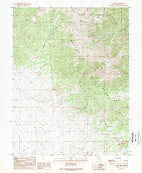
1989 Map of Corey Peak
USGS Topo · Published 1989About this map
Wassuk Range peaks dominate this late-twentieth-century landscape, where rugged topography meets industrial and military utility. The southern reaches of the Hawthorne Army Ammunition Depot occupy the northern terrain, while the southeastern corner reveals active resource extraction at the Borealis Mine and an adjacent Strip Mine. This area is characterized by high-elevation landmarks such as Big Indian Mountain and Corey Pk, connected by difficult 4wd routes and the historic Lucky Boy Pass. The transition from the protected slopes of the Toiyabe National Forest to the specialized mining zones reflects the region's historical reliance on both conservation and mineral wealth. Watercourses like Baldwin Canyon and Corey Creek drain these steep slopes, creating a network of natural corridors through the high desert peaks.
Find a feature on this map
20 named features on this map. Tap any name to fly to it.
Don’t see what you’re looking for? This feature index may not catch every label — zoom into the map to look around manually.
Map Details
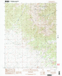
Editions of this 1989 Corey Peak Map
2 editions found
Other maps of this area

1909 · Hawthorne
USGS Topo · 1:250,000

1911 · Hawthorne
USGS Topo · 1:250,000

1915 · Hawthorne
USGS Topo · 1:250,000

1948 · Walker Lake
USGS Topo · 1:250,000

1955 · Powell Mtn
USGS Topo · 1:62,500

1955 · Hawthorne
USGS Topo · 1:62,500

1956 · Mt. Grant
USGS Topo · 1:62,500

1956 · Aurora
USGS Topo · 1:62,500

1957 · Walker Lake
USGS Topo · 1:250,000

1962 · Walker Lake
USGS Topo · 1:250,000