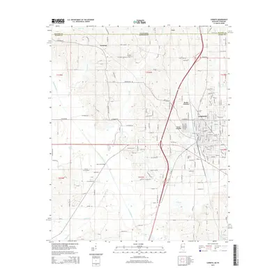
2015 Map of Corinth
USGS Topo · Published 2015About this map
Corinth serves as the focal point of this 2015 survey, situated just south of the Tennessee Mississippi state line. The city's layout is meticulously detailed, showing the dense network of streets and its proximity to major transportation corridors and water bodies like the Tuscumbia River. Several significant burial grounds, including the Corinth City Cem, Forest Hill Cem, and Henry Cem, are prominently marked, offering clear points of interest for genealogists and local historians.
Find a feature on this map
183 named features on this map. Tap any name to fly to it.
Don’t see what you’re looking for? This feature index may not catch every label — zoom into the map to look around manually.
Map Details
Editions of this 2015 Corinth Map
This is the sole edition of this map. No revisions or reprints were ever made.
Other maps of this area

1935 · Glens
USGS Topo · 1:24,000

1936 · Kendrick
USGS Topo · 1:24,000

1936 · Michie
USGS Topo · 1:24,000

1949 · Michie
USGS Topo · 1:24,000

1950 · Corinth
USGS Topo · 1:62,500

1950 · Kendrick
USGS Topo · 1:24,000

1950 · Glens
USGS Topo · 1:24,000

1951 · Chewalla
USGS Topo · 1:24,000

1951 · Guys
USGS Topo · 1:24,000
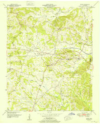
1952 · Michie
USGS Topo · 1:24,000