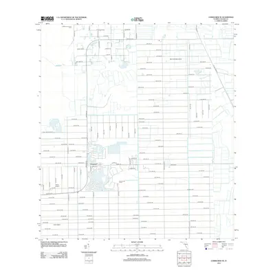
2012 Map of Corkscrew SE
USGS Topo · Published 2012About this map
Orangetree serves as a central residential hub in this 2012 depiction of Collier County, where a strictly geometric grid of avenues and lanes meets the sprawling natural terrain of the Florida Everglades. The landscape is defined by its massive tracts of low-lying ground, including Big Corkscrew Island and Forth Island, which are interspersed with local recreational features like the Pine Tree Golf Course. To the north, the Corkscrew Sanctuary Camp signals the proximity of protected wilderness. The road network, including the major thoroughfare of Immokalee Rd and wildlife-named streets such as Purple Martin Dr and Red Deer Rd, illustrates the rapid suburban expansion and drainage efforts that transformed this corner of Southwest Florida in the early 21st century.
Find a feature on this map
96 named features on this map. Tap any name to fly to it.
Don’t see what you’re looking for? This feature index may not catch every label — zoom into the map to look around manually.
Map Details
Editions of this 2012 Corkscrew SE Map
This is the sole edition of this map. No revisions or reprints were ever made.
Other maps of this area

1956 · West Palm Beach
USGS Topo · 1:250,000

1957 · West Palm Beach
USGS Topo · 1:250,000

1958 · West Palm Beach
USGS Topo · 1:250,000

1958 · Corkscrew SE
USGS Topo · 1:24,000

1958 · Corkscrew NW
USGS Topo · 1:24,000

1958 · Catherine Island
USGS Topo · 1:24,000

1958 · Immokalee
USGS Topo · 1:24,000

1958 · Belle Meade NE
USGS Topo · 1:24,000

1958 · Belle Meade NW
USGS Topo · 1:24,000

1958 · Immokalee SW
USGS Topo · 1:24,000