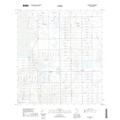
2018 Map of Corkscrew SE
USGS Topo · Published 2018About this map
Orangetree sits at the heart of this Collier County landscape, serving as a pocket of residential development amidst the vast hydrological systems of southwest Florida. The area is defined by its named wetlands and strands, including the expansive Corkscrew Swamp and Bird Rookery Swamp to the west. A complex network of numbered avenues and local roads like Rookery Ln and Wild Turkey Dr carve into the natural environment, illustrating the modern expansion of rural subdivisions.
Find a feature on this map
110 named features on this map. Tap any name to fly to it.
Don’t see what you’re looking for? This feature index may not catch every label — zoom into the map to look around manually.
Map Details
Editions of this 2018 Corkscrew SE Map
This is the sole edition of this map. No revisions or reprints were ever made.
Other maps of this area

1956 · West Palm Beach
USGS Topo · 1:250,000

1957 · West Palm Beach
USGS Topo · 1:250,000

1958 · West Palm Beach
USGS Topo · 1:250,000

1958 · Corkscrew SE
USGS Topo · 1:24,000

1958 · Corkscrew NW
USGS Topo · 1:24,000

1958 · Catherine Island
USGS Topo · 1:24,000

1958 · Immokalee
USGS Topo · 1:24,000

1958 · Belle Meade NE
USGS Topo · 1:24,000

1958 · Belle Meade NW
USGS Topo · 1:24,000

1958 · Immokalee SW
USGS Topo · 1:24,000