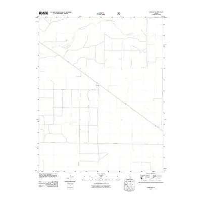
2010 Map of Corlena
USGS Topo · Published 2010About this map
Corlena serves as the central point of this high plains landscape in Dallam County, positioned along the primary highway corridor. The terrain is defined by the winding course of West Rita Blanca Creek, which meanders across the northern portion of the quadrangle, providing a natural break in the geometric grid of agricultural and ranch roads. The local transportation network is established by a series of named rural routes, including Beckman Ln, Draper Rd, and Hester Rd, which partition the territory into large, functional parcels. This survey illustrates the persistent ranching and farming structure of the Texas Panhandle, where the distribution of homesteads and water sources like the creek remain the primary markers of settlement.
Find a feature on this map
10 named features on this map. Tap any name to fly to it.
Don’t see what you’re looking for? This feature index may not catch every label — zoom into the map to look around manually.
Map Details
Editions of this 2010 Corlena Map
This is the sole edition of this map. No revisions or reprints were ever made.
Other maps of this area

1954 · Dalhart
USGS Topo · 1:250,000

1958 · Dalhart
USGS Topo · 1:250,000

1962 · Dalhart
USGS Topo · 1:250,000

1970 · Texline South
USGS Topo · 1:24,000

1970 · Texline North
USGS Topo · 1:24,000

1970 · Sedan NE
USGS Topo · 1:24,000

1973 · Buffalo Springs
USGS Topo · 1:24,000

1973 · Wharton Ranch
USGS Topo · 1:24,000

1973 · Corlena
USGS Topo · 1:24,000

1973 · Perico
USGS Topo · 1:24,000