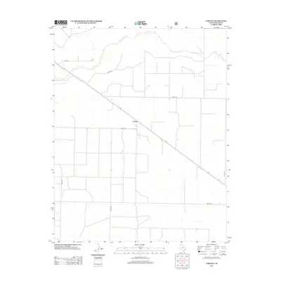
2012 Map of Corlena
USGS Topo · Published 2012About this map
Corlena serves as the central point for this section of the Texas Panhandle, situated along a primary transportation diagonal that cuts through the grid of the High Plains. This landscape is defined by the contrast between a rigid network of property-boundary roads and the meandering path of the W Rita Blanca Cr to the north. These named corridors, including Crum Rd, Hester Rd, and Hershey Ln, indicate the organized agricultural layout of Dallam County in the early 21st century. The map provides a clear look at the spatial relationship between these homestead-scale routes and the natural drainage systems that have shaped ranching and farming in the region for generations.
Find a feature on this map
10 named features on this map. Tap any name to fly to it.
Don’t see what you’re looking for? This feature index may not catch every label — zoom into the map to look around manually.
Map Details
Editions of this 2012 Corlena Map
This is the sole edition of this map. No revisions or reprints were ever made.
Other maps of this area

1954 · Dalhart
USGS Topo · 1:250,000

1958 · Dalhart
USGS Topo · 1:250,000

1962 · Dalhart
USGS Topo · 1:250,000

1970 · Texline South
USGS Topo · 1:24,000

1970 · Texline North
USGS Topo · 1:24,000

1970 · Sedan NE
USGS Topo · 1:24,000

1973 · Buffalo Springs
USGS Topo · 1:24,000

1973 · Wharton Ranch
USGS Topo · 1:24,000

1973 · Corlena
USGS Topo · 1:24,000

1973 · Perico
USGS Topo · 1:24,000